Channel & Berth Profile
Pilotage, Tugs & Services
Pilotage compulsoryYES
Salvage tugsNO
Shore powerYES
Potable waterYES
Diesel bunkersYES
Facilities & Capabilities
Container—
Ro-Ro—
Liquid bulk—
Dry bulk—
Oil terminal—
Break bulk—
Dry dock—
RepairsNO
BunkeringYES
Rail linkYES
Dangerous cargo—
ISPS security—
Harbour Specifications
Harbour size
Very Small
Harbour type
Coastal (Natural)
Shelter
Excellent
Water body
Lake Ontario; Great Lakes
Pilotage
Yes
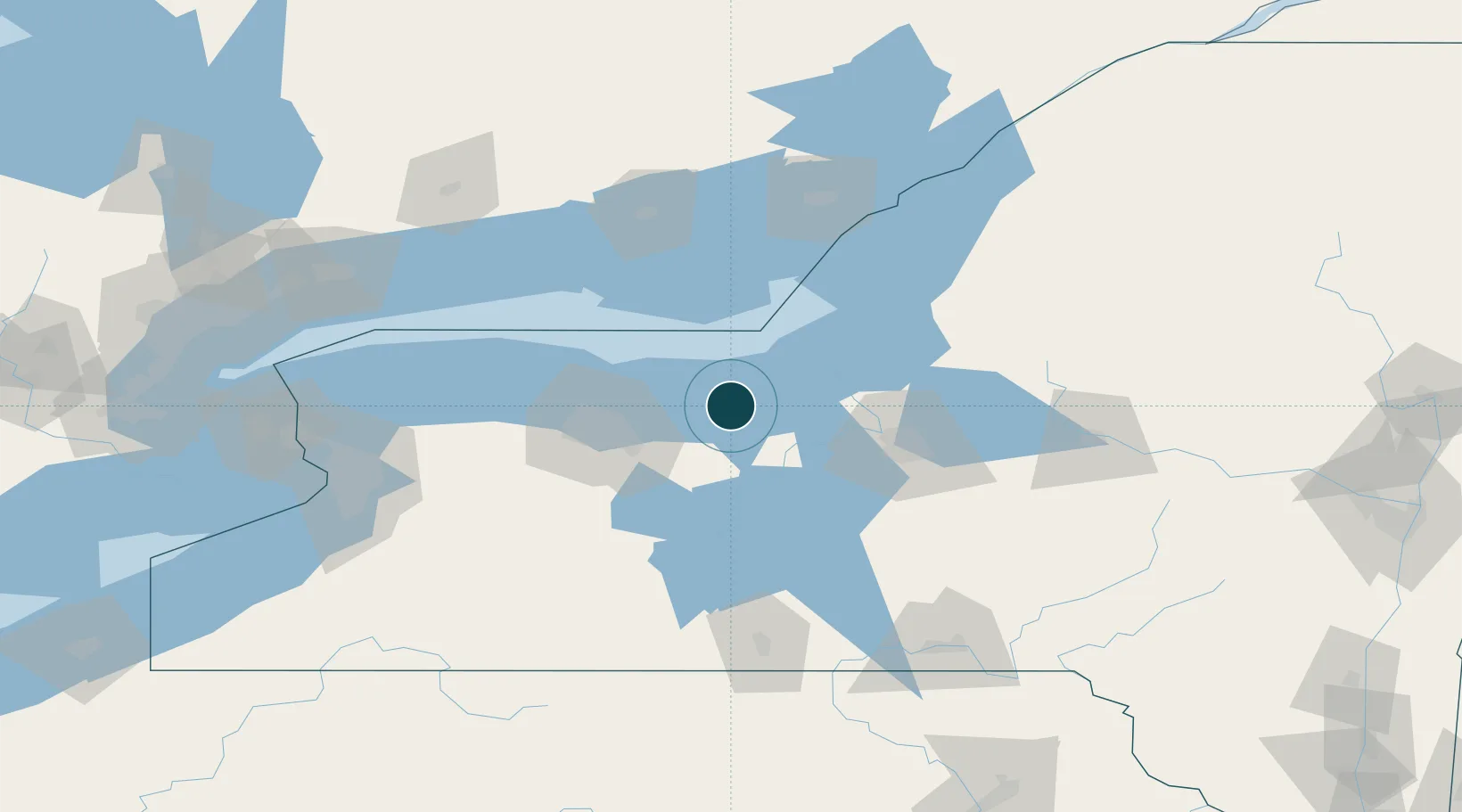
Location
Nearby Logistics Neighbours
Ports
- 1Oswego44 km
- 2Rochester50 km
- 3Picton84 km
- 4Belleville104 km
- 5Trenton104 km
Cities
- 1North Rose12 km
- 2Wolcott15 km
- 3Ontario26 km
- 4Palmyra32 km
- 5Cato36 km
Airports
Trade Zones
- 1FTZ No. 090 Onondaga41 km
- 2FTZ No. 289 Ontario County70 km
- 3FTZ No. 172 Oneida County77 km
- 4FTZ No. 141 Monroe County80 km
- 5FTZ No. 109 Watertown119 km
DatabookThe Record of Consolidated Knowledge
United States beyond logistics?