Transport Functions
Port
Road
Hub Profile
Place type
Populated place
Region
New York
Time zone
America/New_York
Elevation
401 m
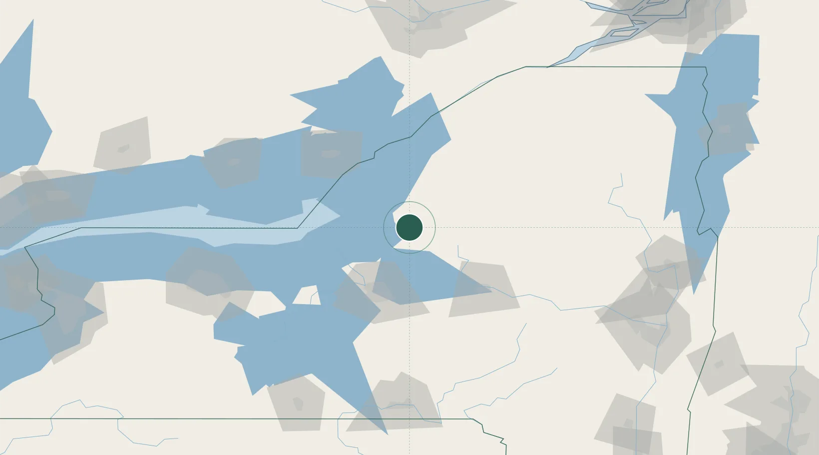
Location
Nearby Logistics Neighbours
Cities
- 1Mannsville17 km
- 2Willianstown24 km
- 3Williamstown24 km
- 4Whitmore Lake24 km
- 5Parish33 km
Ports
- 1Oswego54 km
- 2Clayton68 km
- 3Wolfe Island77 km
- 4Alexandria Bay78 km
- 5Gananoque81 km
Airports
Trade Zones
- 1FTZ No. 109 Watertown39 km
- 2FTZ No. 172 Oneida County46 km
- 3FTZ No. 090 Onondaga57 km
- 4FTZ No. 118 Ogdensburg124 km
- 5FTZ No. 289 Ontario County165 km
DatabookThe Record of Consolidated Knowledge
United States beyond logistics?