Medium airport · Canada
Kingston Norman Rogers AirportCYGK
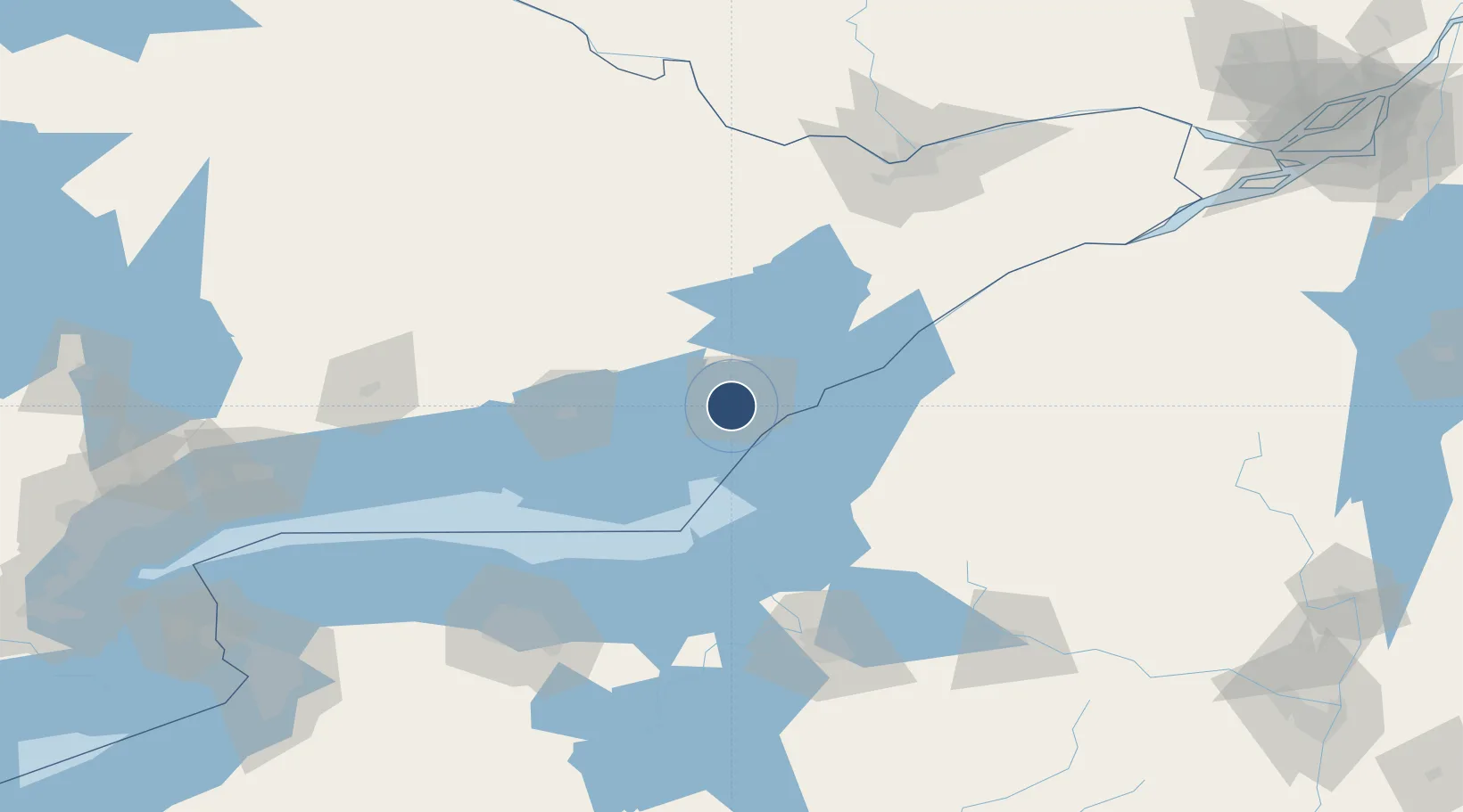
44.2253°, -76.5969°
6,001 ft
Longest runway
2
Runways
305 ft
Elevation
Runway & Layout

Radio Frequencies
ATF
122.5 MHz
Kingston Traffic
MF
122.5 MHz
Kingston Radio, 0615-2300 local
RADIO
122.5 MHz
Kingston Radio
RCO
123.55 MHz
London Radio
VDF
122.5 MHz
Kingston Radio
Navaids
YGK NDB Kingston 263 kHz
Runways · 2
| Runway | Dimensions | Surface | True heading | Lit |
|---|---|---|---|---|
| 01/19 | 6,001 × 100ft | Asphalt | 356° | ✓ |
| 07/25 | 3,933 × 100ft | Asphalt | 054° | ✓ |
Airport Specifications
IATA code
YGK
ICAO code
CYGK
Airport class
Medium airport
Scheduled service
No
Runway surface
Asphalt
Served city
Kingston
Location
Nearby Logistics Neighbours
Airports
Cities
- 1Odessa11 km
- 2Hartington24 km
- 3Napanee28 km
- 4Deseronto34 km
- 5Roblin38 km
Ports
- 1Kingston8 km
- 2Millhaven11 km
- 3Wolfe Island13 km
- 4Gananoque36 km
- 5Clayton44 km
Trade Zones
- 1FTZ No. 109 Watertown62 km
- 2FTZ No. 090 Onondaga86 km
- 3FTZ No. 118 Ogdensburg102 km
- 4FTZ No. 172 Oneida County119 km
- 5FTZ No. 141 Monroe County152 km
DatabookThe Record of Consolidated Knowledge
Canada beyond logistics?