UN/LOCODE hub · United States
USWMP
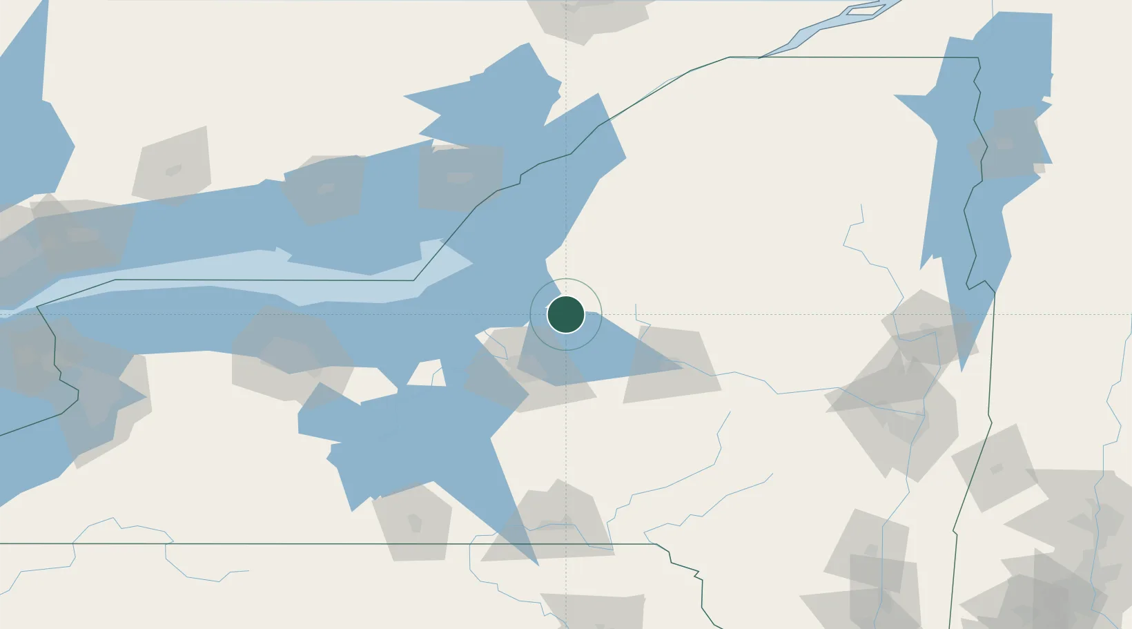
Whitmore Lake
43.4167°, -75.9000°
6,423
Population
3
Transport functions
Transport Functions
Port
Road
Multimodal
Hub Profile
Place type
Populated place
Region
Michigan
Population
6,423
Time zone
America/Detroit
Elevation
281 m
Location
Nearby Logistics Neighbours
Cities
- 1Willianstown1 km
- 2Williamstown1 km
- 3Camden16 km
- 4Parish19 km
- 5Greenboro24 km
Ports
- 1Oswego50 km
- 2Sodus Bay89 km
- 3Clayton92 km
- 4Wolfe Island97 km
- 5Alexandria Bay102 km
Airports
Trade Zones
- 1FTZ No. 172 Oneida County23 km
- 2FTZ No. 090 Onondaga53 km
- 3FTZ No. 109 Watertown63 km
- 4FTZ No. 118 Ogdensburg147 km
- 5FTZ No. 289 Ontario County151 km
DatabookThe Record of Consolidated Knowledge
United States beyond logistics?