Transport Functions
Rail
Road
Multimodal
Hub Profile
Place type
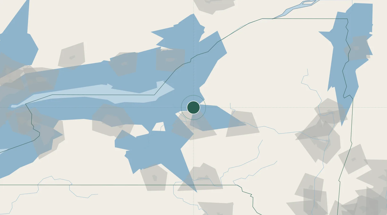
Populated place
Region
New York
Population
438
Time zone
America/New_York
Elevation
151 m
Location
Nearby Logistics Neighbours
Cities
- 1Whitmore Lake19 km
- 2Willianstown20 km
- 3Williamstown20 km
- 4Oswego30 km
- 5Bridgeport31 km
Ports
- 1Oswego32 km
- 2Sodus Bay70 km
- 3Wolfe Island92 km
- 4Clayton93 km
- 5Kingston97 km
Airports
Trade Zones
- 1FTZ No. 172 Oneida County20 km
- 2FTZ No. 090 Onondaga34 km
- 3FTZ No. 109 Watertown68 km
- 4FTZ No. 289 Ontario County134 km
- 5FTZ No. 141 Monroe County149 km
DatabookThe Record of Consolidated Knowledge
United States beyond logistics?