Transport Functions
Multimodal
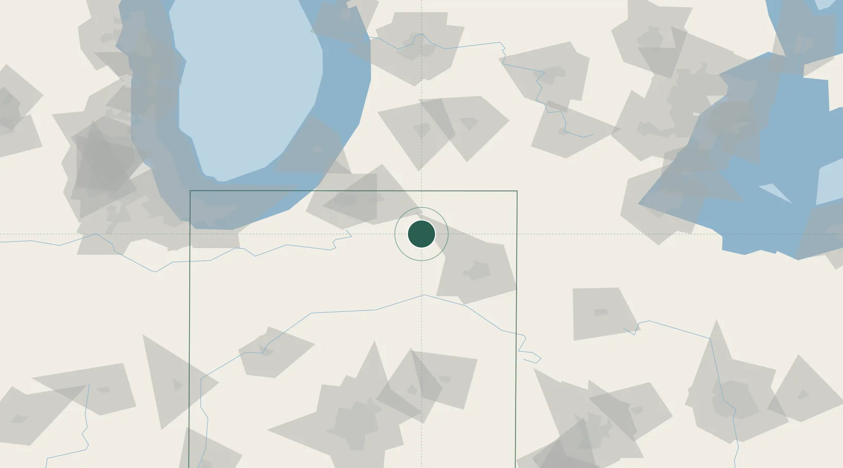
Hub Profile
Place type
Populated place
Region
Indiana
Population
504
Time zone
America/Indiana/Indianapolis
Elevation
292 m
Location
Nearby Logistics Neighbours
Cities
- 1North Webster12 km
- 2Millersburg15 km
- 3Brimfield18 km
- 4New Paris21 km
- 5Wolcottville23 km
Ports
- 1St Joseph108 km
- 2Michigan City114 km
- 3South Haven125 km
- 4Gary146 km
- 5Indiana Harbor156 km
Airports
Trade Zones
- 1FTZ No. 182 Fort Wayne44 km
- 2FTZ No. 125 South Bend69 km
- 3FTZ No. 043 Battle Creek108 km
- 4FTZ No. 152 Burns Harbor132 km
- 5FTZ No. 151 Findlay164 km
DatabookThe Record of Consolidated Knowledge
United States beyond logistics?