Transport Functions
Rail
Road
Multimodal
Hub Profile
Place type
Populated place
Region
Indiana
Time zone
America/Indiana/Indianapolis
Elevation
289 m
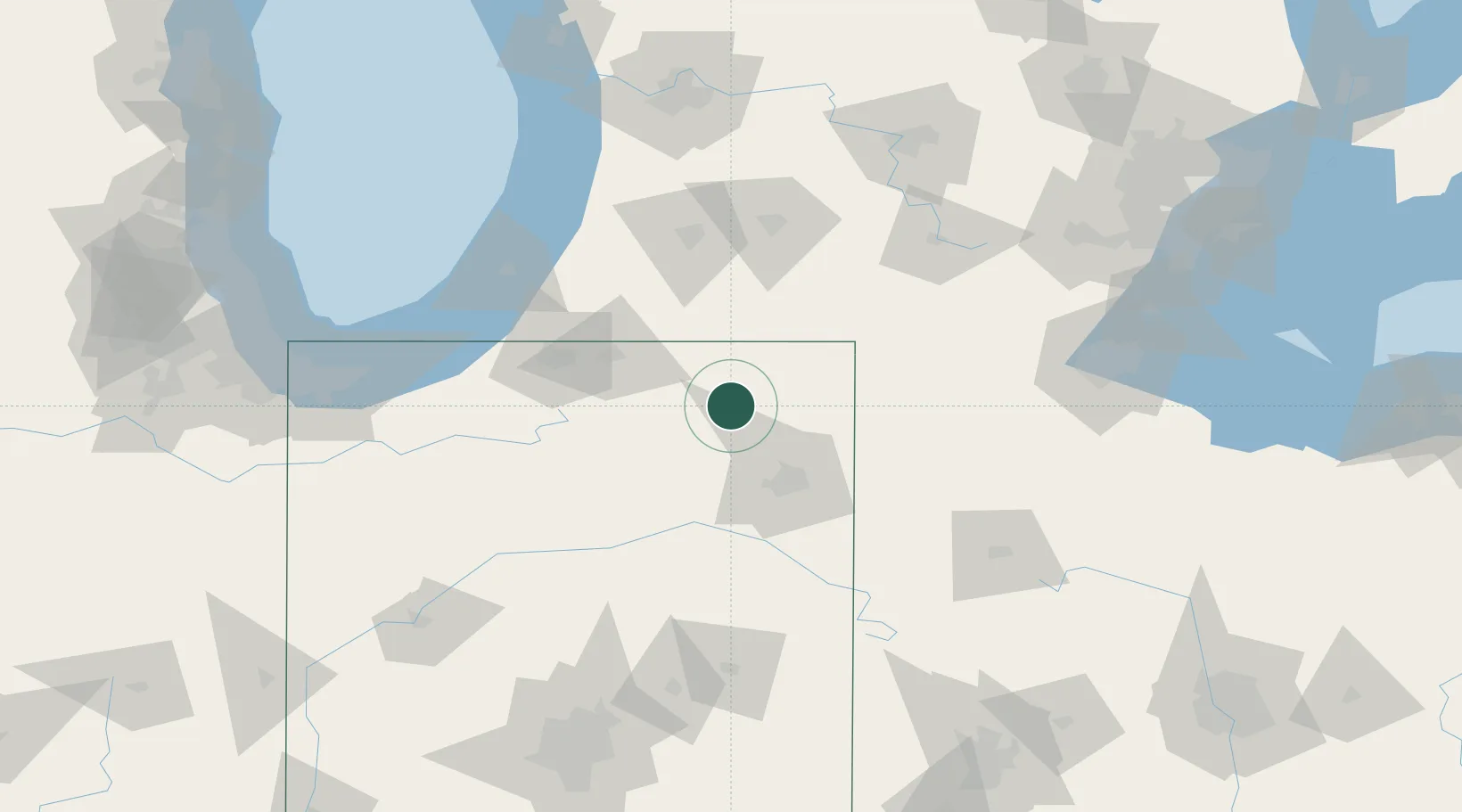
Location
Nearby Logistics Neighbours
Cities
- 1Wolcottville8 km
- 2South Milford15 km
- 3Cromwell18 km
- 4Corunna22 km
- 5Millersburg25 km
Ports
- 1St Joseph117 km
- 2South Haven128 km
- 3Michigan City129 km
- 4Holland160 km
- 5Gary162 km
Airports
Trade Zones
- 1FTZ No. 182 Fort Wayne42 km
- 2FTZ No. 125 South Bend83 km
- 3FTZ No. 043 Battle Creek99 km
- 4FTZ No. 152 Burns Harbor148 km
- 5FTZ No. 151 Findlay149 km
DatabookThe Record of Consolidated Knowledge
United States beyond logistics?