UN/LOCODE hub · United States
USTIE
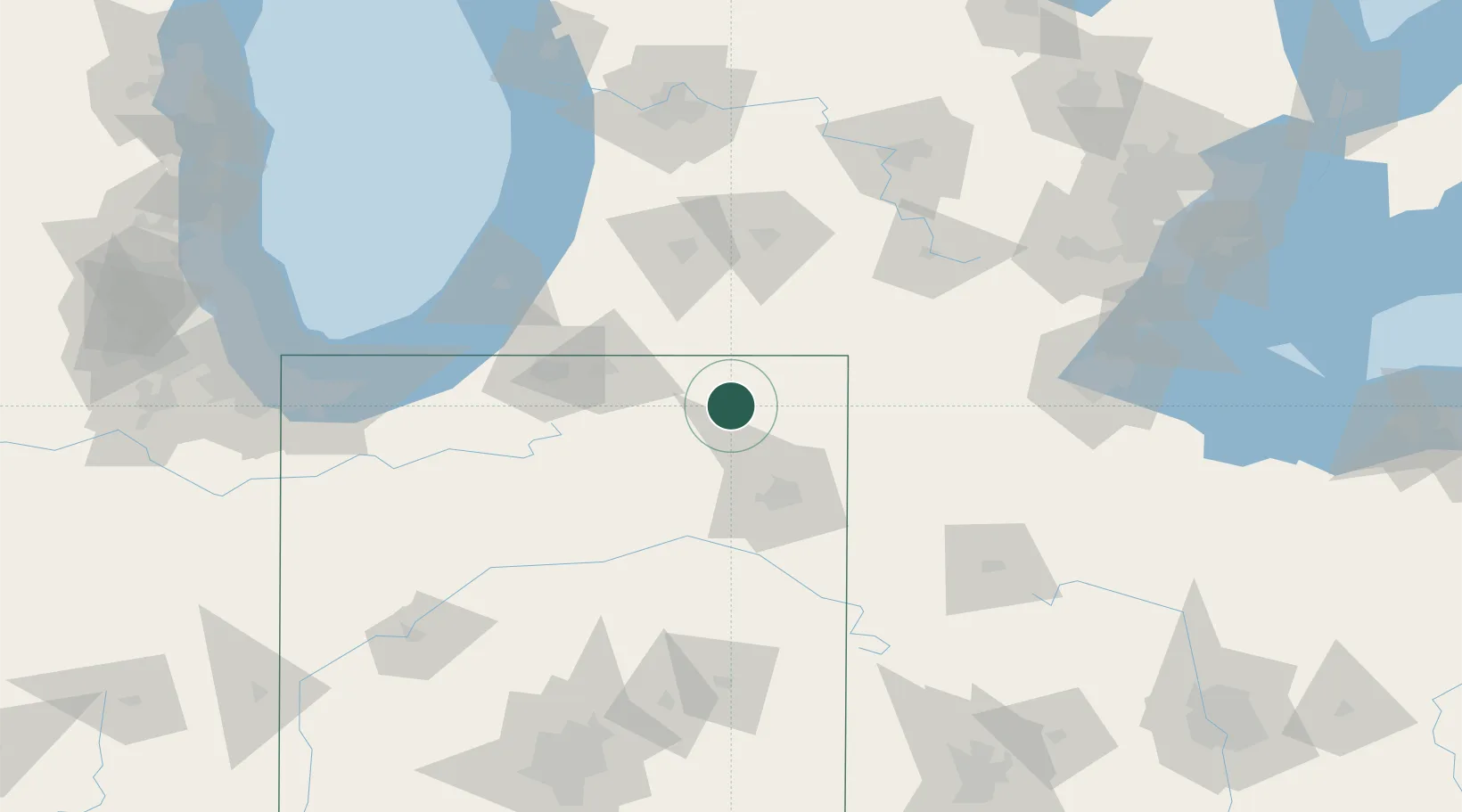
Wolcottville
41.5167°, -85.3667°
1,015
Population
4
Transport functions
Transport Functions
Port
Rail
Road
Multimodal
Hub Profile
Place type
Populated place
Region
Indiana
Population
1,015
Time zone
America/Indiana/Indianapolis
Elevation
287 m
Location
Nearby Logistics Neighbours
Cities
- 1Brimfield8 km
- 2South Milford9 km
- 3Corunna22 km
- 4Cromwell23 km
- 5Hudson25 km
Ports
- 1St Joseph114 km
- 2South Haven124 km
- 3Michigan City130 km
- 4Holland154 km
- 5Toledo159 km
Airports
Trade Zones
- 1FTZ No. 182 Fort Wayne49 km
- 2FTZ No. 125 South Bend83 km
- 3FTZ No. 043 Battle Creek92 km
- 4FTZ No. 151 Findlay149 km
- 5FTZ No. 152 Burns Harbor150 km
DatabookThe Record of Consolidated Knowledge
United States beyond logistics?