UN/LOCODE hub · United States
USZQS
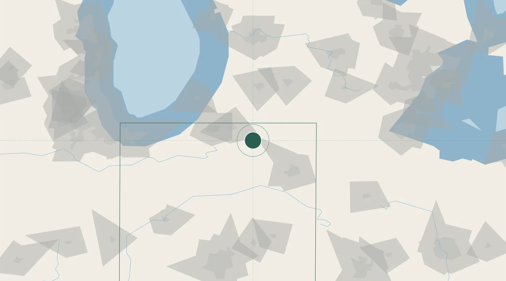
Millersburg
41.5167°, -85.6833°
935
Population
1
Transport functions
Transport Functions
Multimodal
Hub Profile
Place type
Populated place
Region
Indiana
Population
935
Time zone
America/Indiana/Indianapolis
Elevation
270 m
Location
Nearby Logistics Neighbours
Cities
- 1New Paris11 km
- 2Cromwell15 km
- 3North Webster22 km
- 4Brimfield25 km
- 5Wolcottville26 km
Ports
- 1St Joseph94 km
- 2Michigan City104 km
- 3South Haven110 km
- 4Gary138 km
- 5Holland146 km
Airports
Trade Zones
- 1FTZ No. 125 South Bend58 km
- 2FTZ No. 182 Fort Wayne58 km
- 3FTZ No. 043 Battle Creek97 km
- 4FTZ No. 152 Burns Harbor123 km
- 5FTZ No. 151 Findlay174 km
DatabookThe Record of Consolidated Knowledge
United States beyond logistics?