UN/LOCODE hub · United States
USNPI
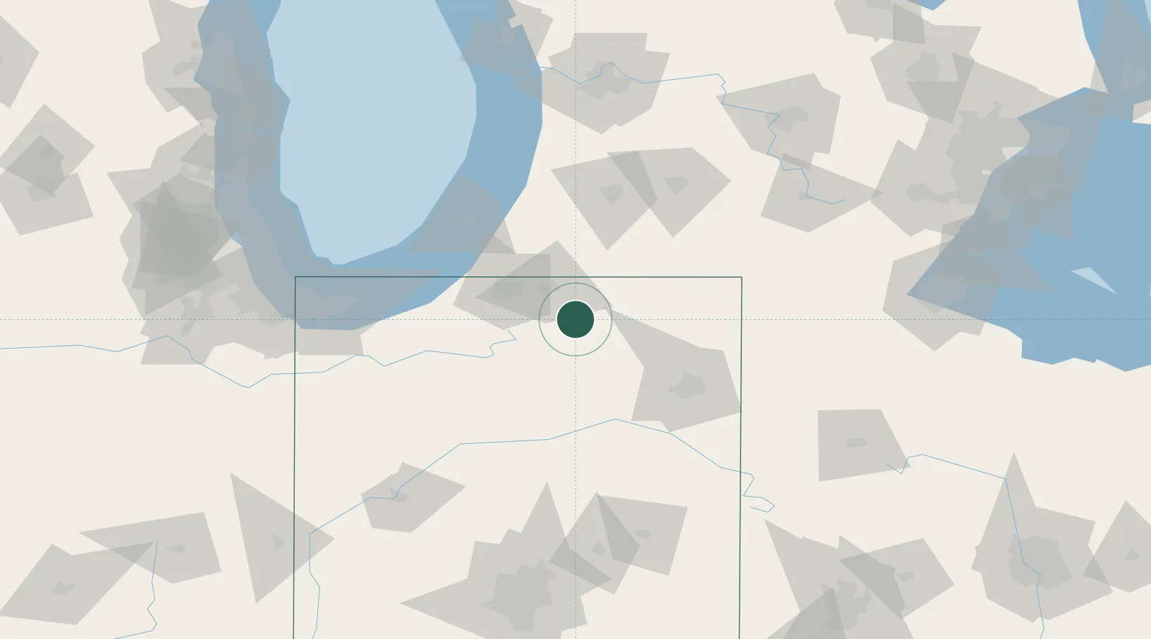
New Paris
41.5000°, -85.8167°
1,494
Population
3
Transport functions
Transport Functions
Rail
Road
Multimodal
Hub Profile
Place type
Populated place
Region
Indiana
Population
1,494
Time zone
America/Indiana/Indianapolis
Elevation
250 m
Location
Nearby Logistics Neighbours
Cities
- 1Millersburg11 km
- 2Wakarusa17 km
- 3Cromwell21 km
- 4North Webster23 km
- 5Wyatt29 km
Ports
- 1St Joseph88 km
- 2Michigan City94 km
- 3South Haven107 km
- 4Gary127 km
- 5Indiana Harbor136 km
Airports
Trade Zones
- 1FTZ No. 125 South Bend48 km
- 2FTZ No. 182 Fort Wayne64 km
- 3FTZ No. 043 Battle Creek103 km
- 4FTZ No. 152 Burns Harbor113 km
- 5FTZ No. 022 Chicago175 km
DatabookThe Record of Consolidated Knowledge
United States beyond logistics?