UN/LOCODE hub · United States
USWK9
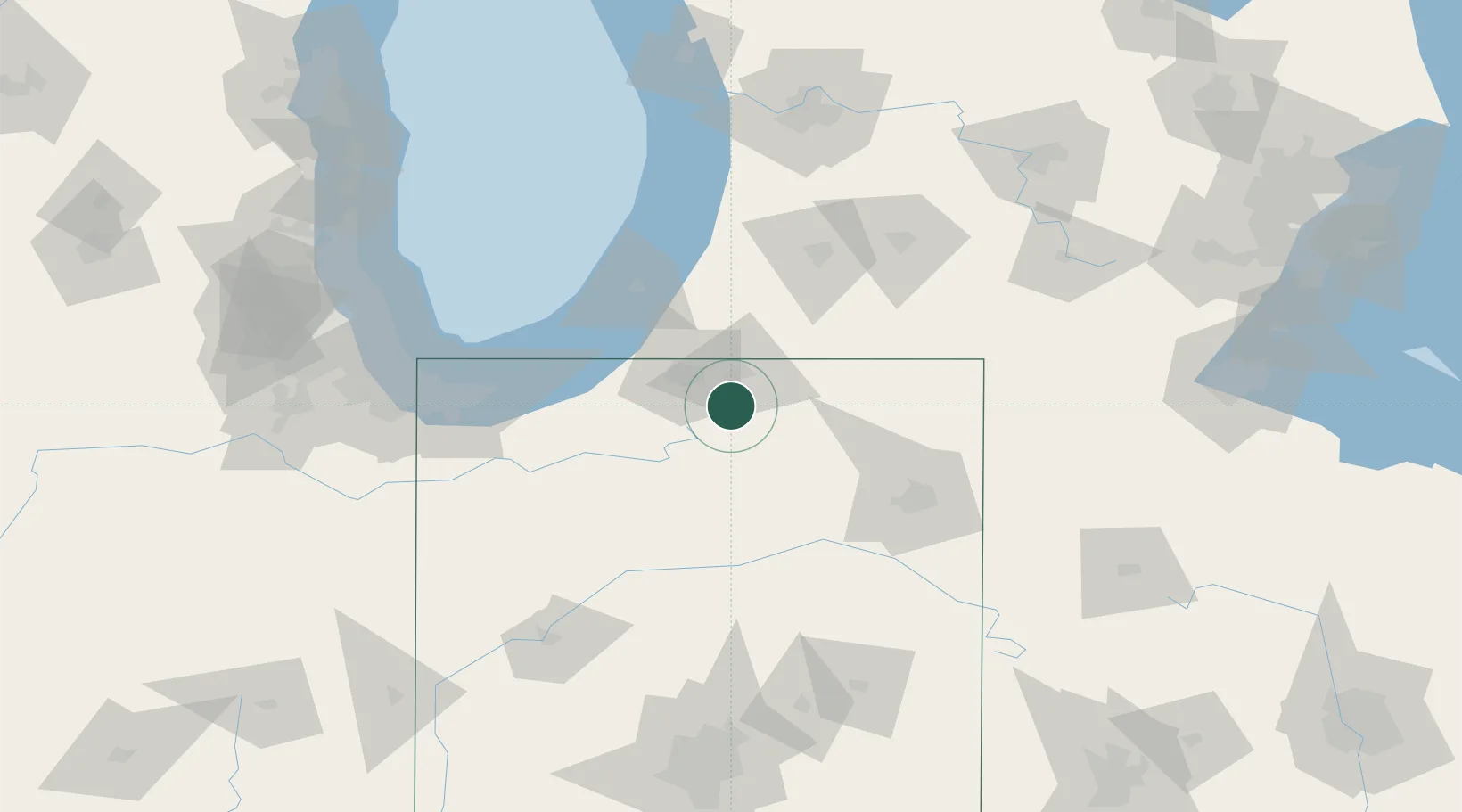
Wakarusa
41.5333°, -86.0167°
1,814
Population
2
Transport functions
Transport Functions
Road
Multimodal
Hub Profile
Place type
Populated place
Region
Indiana
Population
1,814
Time zone
America/Indiana/Indianapolis
Elevation
258 m
Location
Nearby Logistics Neighbours
Cities
- 1Wyatt13 km
- 2New Paris17 km
- 3Granger26 km
- 4Millersburg28 km
- 5North Webster37 km
Ports
- 1St Joseph76 km
- 2Michigan City77 km
- 3South Haven99 km
- 4Gary110 km
- 5Indiana Harbor119 km
Airports
Trade Zones
- 1FTZ No. 125 South Bend32 km
- 2FTZ No. 182 Fort Wayne79 km
- 3FTZ No. 152 Burns Harbor96 km
- 4FTZ No. 043 Battle Creek108 km
- 5FTZ No. 022 Chicago158 km
DatabookThe Record of Consolidated Knowledge
United States beyond logistics?