UN/LOCODE hub · United States
USWKC
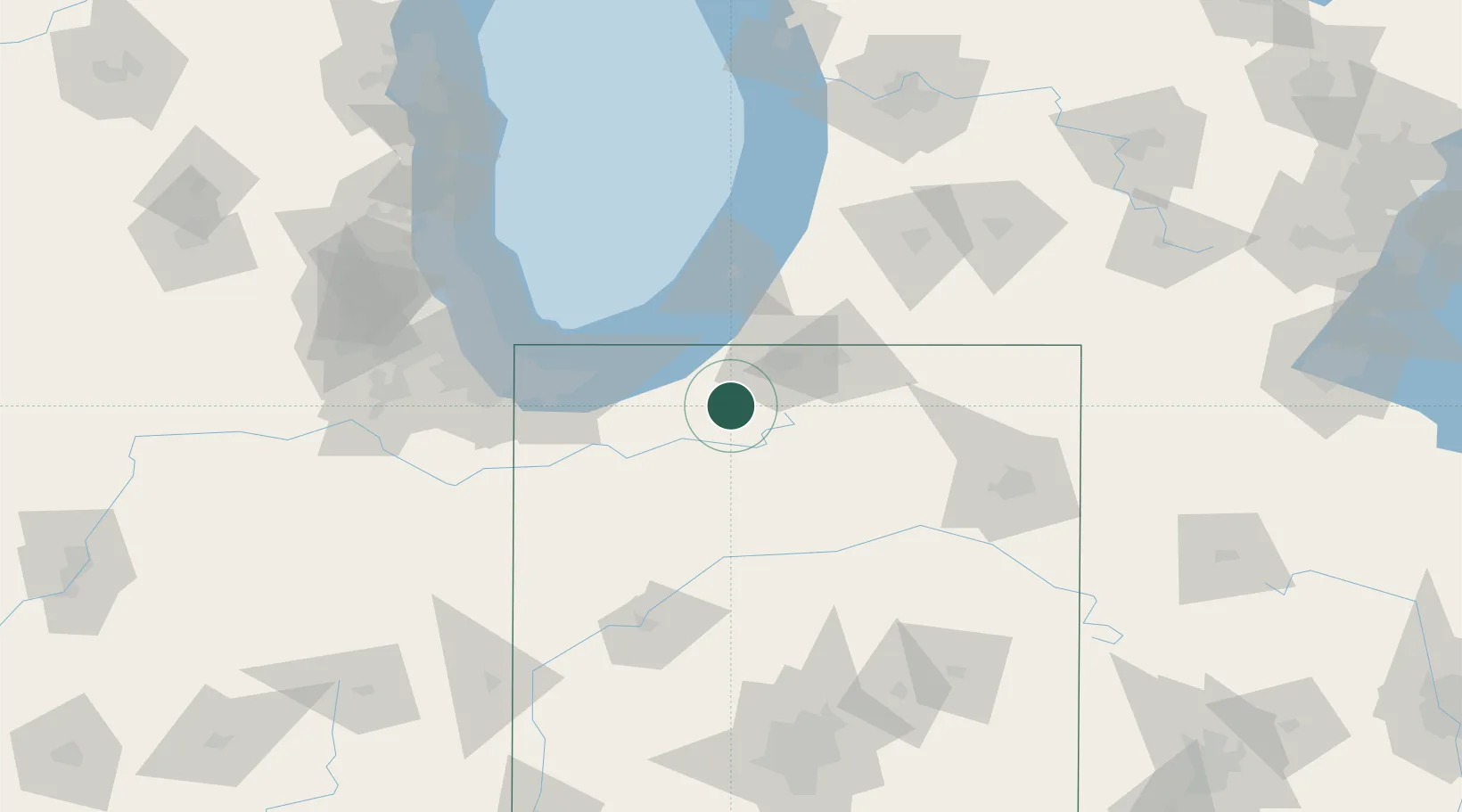
Walkerton
41.4667°, -86.4833°
2,264
Population
3
Transport functions
Transport Functions
Rail
Road
Multimodal
Hub Profile
Place type
Populated place
Region
Indiana
Population
2,264
Time zone
America/Indiana/Indianapolis
Elevation
221 m
Location
Nearby Logistics Neighbours
Cities
- 1Kingsbury20 km
- 2Rolling Prairie25 km
- 3Wyatt27 km
- 4Three Oaks37 km
- 5Galien37 km
Ports
- 1Michigan City46 km
- 2St Joseph72 km
- 3Gary73 km
- 4Indiana Harbor82 km
- 5Calumet Harbor91 km
Airports
Trade Zones
- 1FTZ No. 125 South Bend26 km
- 2FTZ No. 152 Burns Harbor59 km
- 3FTZ No. 182 Fort Wayne108 km
- 4FTZ No. 022 Chicago122 km
- 5FTZ No. 043 Battle Creek139 km
DatabookThe Record of Consolidated Knowledge
United States beyond logistics?