UN/LOCODE hub · United States
USXXY

East Leroy

42.9667°, -85.2167°
2
Transport functions

Transport Functions

Port
Multimodal
UN/LOCODE

Hub Profile

Place type
Populated place
GeoNames
Region
Michigan
GeoNames
Time zone
America/Detroit
GeoNames
Elevation
279 m
GeoNames

Location

Location of USXXY
Natural Earth 10m (public domain) · Michigan · USXXY · 42.97, -85.22GoogleOSMYandex

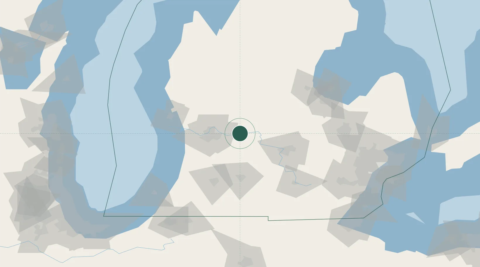
Nearby Logistics Neighbours

Cities
  1. 1Saranac6 km
  2. 2Sheridan29 km
  3. 3Caledonia32 km
  4. 4Belmont33 km
  5. 5Mulliken34 km
Nearest neighbours — logibook spatial index (haversine) over the source coordinates
Ports
  1. 1Holland77 km
  2. 2Grand Haven83 km
  3. 3Muskegon90 km
  4. 4White Lake103 km
  5. 5South Haven108 km
Nearest neighbours — logibook spatial index (haversine) over the source coordinates
Trade Zones
  1. 1FTZ No. 101 Clinton County39 km
  2. 2FTZ No. 043 Battle Creek70 km
  3. 3FTZ No. 189 Kent Ottawa/Muskegon Counties92 km
  4. 4FTZ No. 284 Genesee County101 km
  5. 5FTZ No. 140 Flint118 km
Nearest neighbours — logibook spatial index (haversine) over the source coordinates
DatabookThe Record of Consolidated Knowledge
United States beyond logistics?
Browse databook

All Sources

LocationsUN/LOCODE
UN/LOCODE — free
Portsthe NGA World Port Index
Public domain (US gov)
AirportsOurAirports
Public domain
Trade Zonesthe World Bank SEZ database
CC BY 4.0
Trade ZonesOpen Zone Map
CC BY
← United States locations