Transport Functions
Rail
Road
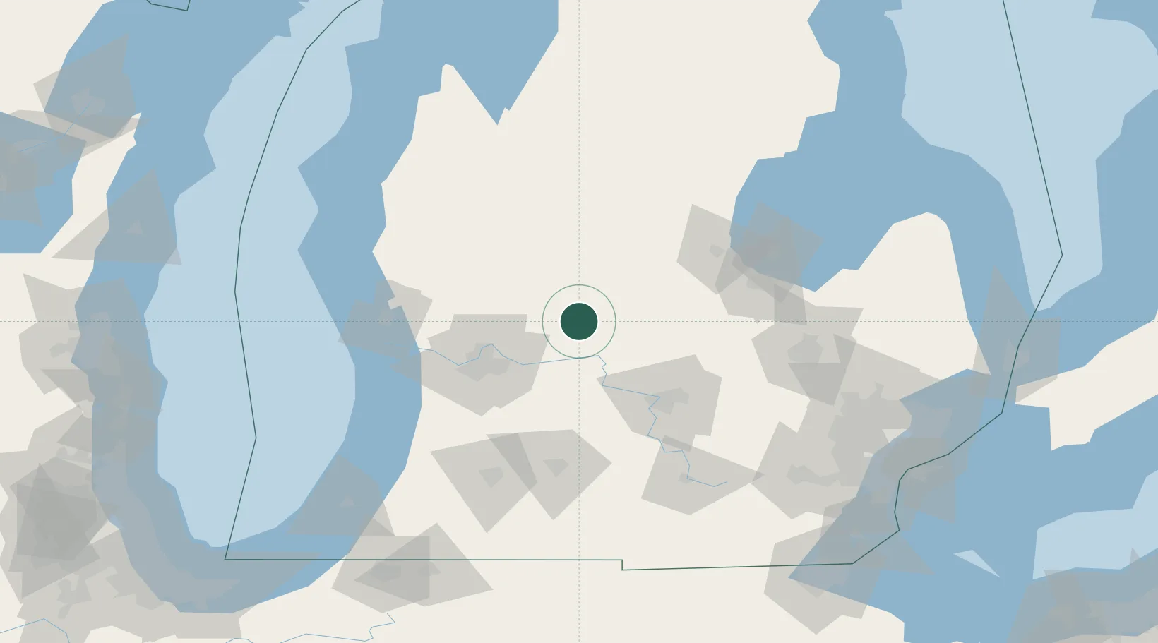
Hub Profile
Place type
Populated place
Region
Michigan
Population
652
Time zone
America/Detroit
Elevation
259 m
Location
Nearby Logistics Neighbours
Cities
- 1Crystal15 km
- 2Edmore22 km
- 3Cedar Lake24 km
- 4White27 km
- 5East Leroy29 km
Ports
- 1Saginaw95 km
- 2Grand Haven96 km
- 3Muskegon97 km
- 4Holland98 km
- 5White Lake106 km
Airports
Trade Zones
DatabookThe Record of Consolidated Knowledge
United States beyond logistics?