Transport Functions
Port
Rail
Road
Multimodal
Hub Profile
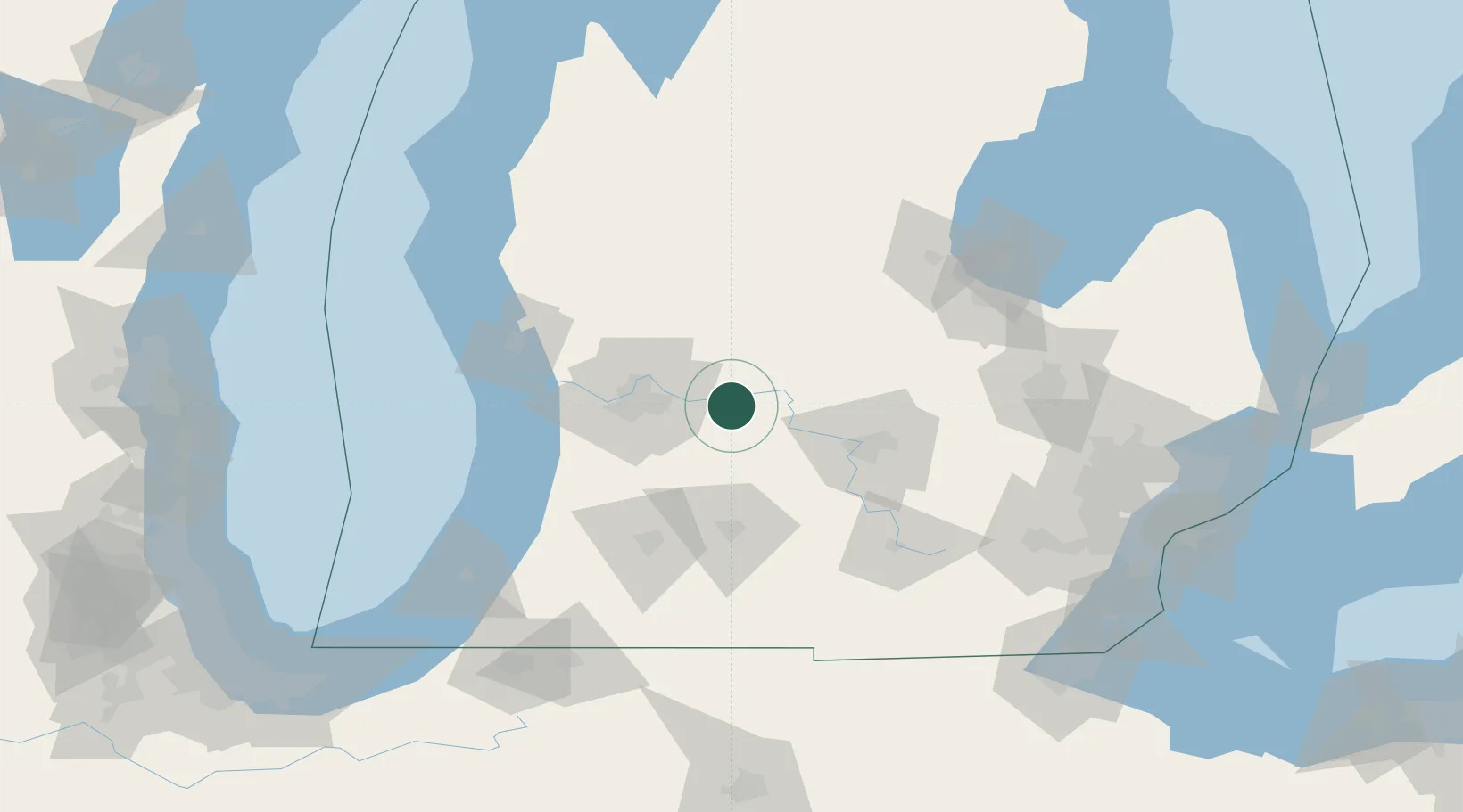
Place type
Populated place
Region
Michigan
Population
1,333
Time zone
America/Detroit
Elevation
197 m
Location
Nearby Logistics Neighbours
Cities
- 1East Leroy6 km
- 2Mulliken30 km
- 3Caledonia30 km
- 4Hastings32 km
- 5Sheridan33 km
Ports
- 1Holland78 km
- 2Grand Haven86 km
- 3Muskegon94 km
- 4South Haven106 km
- 5White Lake107 km
Airports
Trade Zones
DatabookThe Record of Consolidated Knowledge
United States beyond logistics?