Transport Functions
Rail
Road
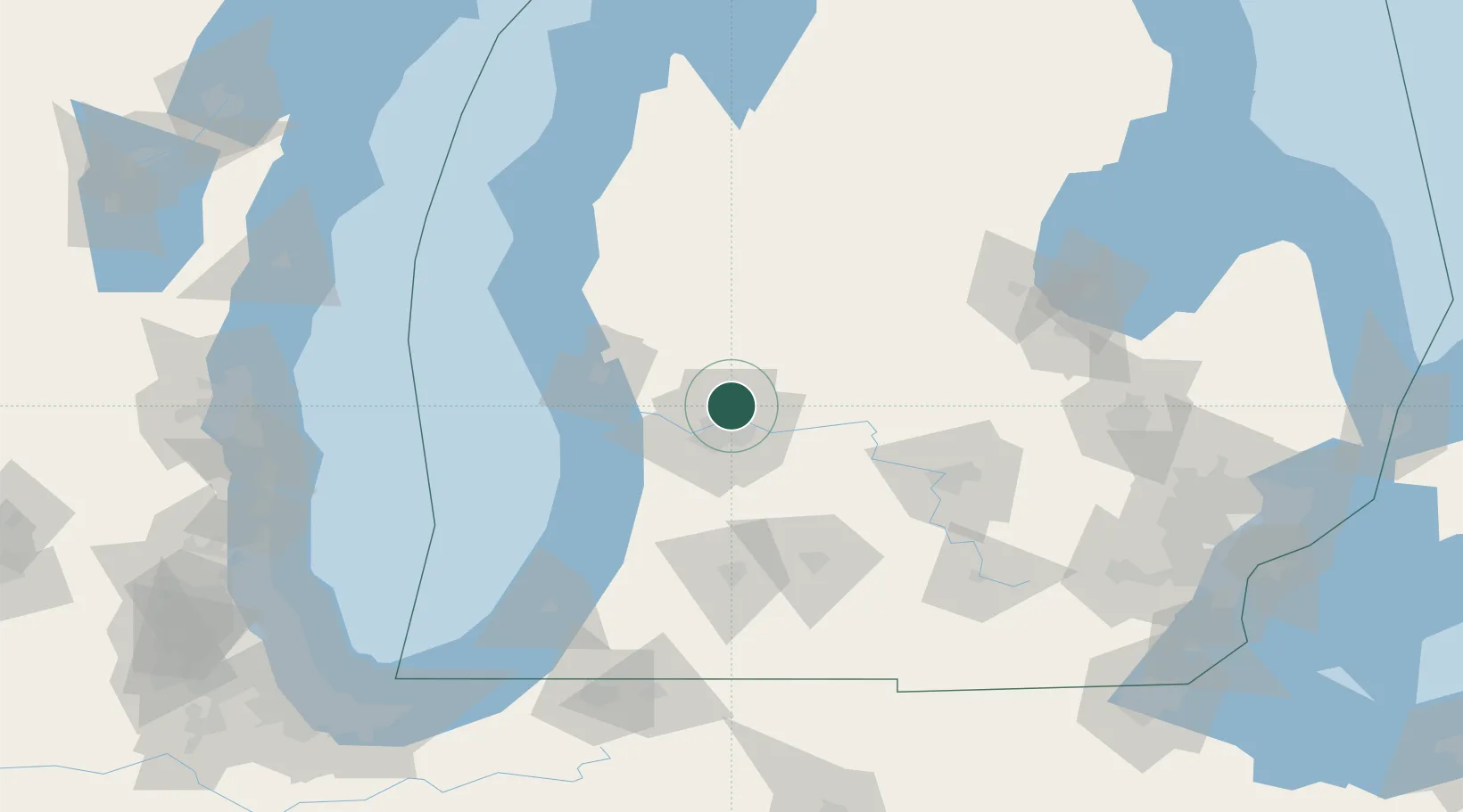
Hub Profile
Place type
Populated place
Region
Michigan
Population
9,244
Time zone
America/Detroit
Elevation
202 m
Location
Nearby Logistics Neighbours
Cities
- 1Comstock Park8 km
- 2Cedar Springs17 km
- 3Marne18 km
- 4Grand Rapids20 km
- 5Kent City21 km
Ports
- 1Grand Haven51 km
- 2Holland54 km
- 3Muskegon57 km
- 4White Lake70 km
- 5South Haven93 km
Airports
Trade Zones
DatabookThe Record of Consolidated Knowledge
United States beyond logistics?