Transport Functions
Road
Multimodal
Hub Profile
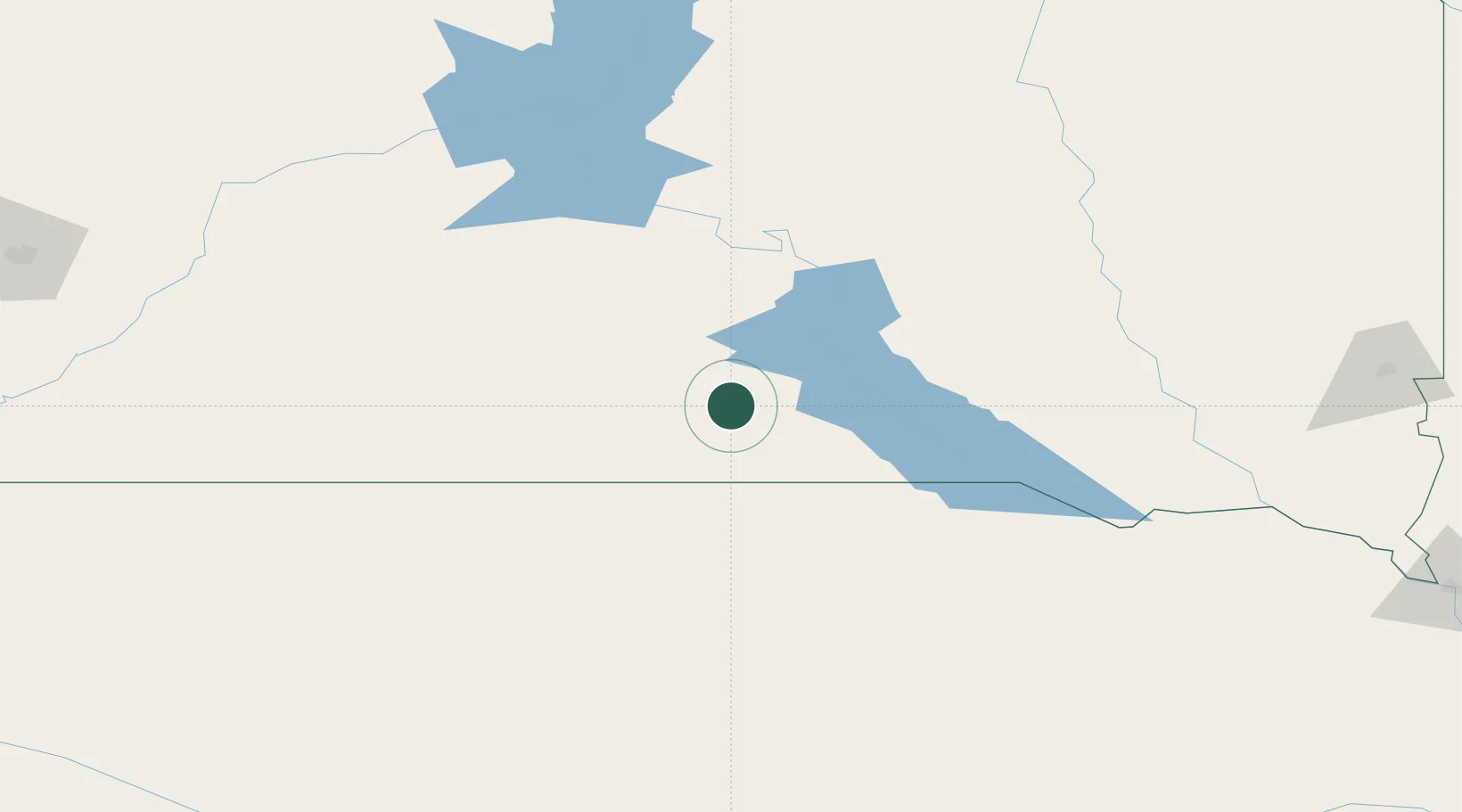
Place type
Provincial seat
Region
South Dakota
Population
2,825
Time zone
America/Chicago
Elevation
600 m
Location
Nearby Logistics Neighbours
Cities
- 1Sparks57 km
- 2White River75 km
- 3Fort Pierre117 km
- 4Onida149 km
- 5Woonsocket149 km
Ports
- 1Duluth717 km
- 2Superior718 km
- 3Two Harbors761 km
- 4Ashland793 km
- 5Washburn795 km
Airports
- 1Miller Field79 km
- 2Pierre Regional Airport118 km
- 3Huron Regional Airport173 km
- 4Chan Gurney Municipal Airport207 km
- 5Mobridge Municipal Airport246 km
Trade Zones
- 1FTZ No. 220 Sioux Falls249 km
- 2FTZ No. 288 Northwest Iowa308 km
- 3FTZ No. 059 Lincoln380 km
- 4FTZ No. 267 Fargo450 km
- 5FTZ No. 133 Quad-Cities, Iowa Illinois463 km
DatabookThe Record of Consolidated Knowledge
United States beyond logistics?