Medium airport · United States
Pierre Regional AirportKPIR
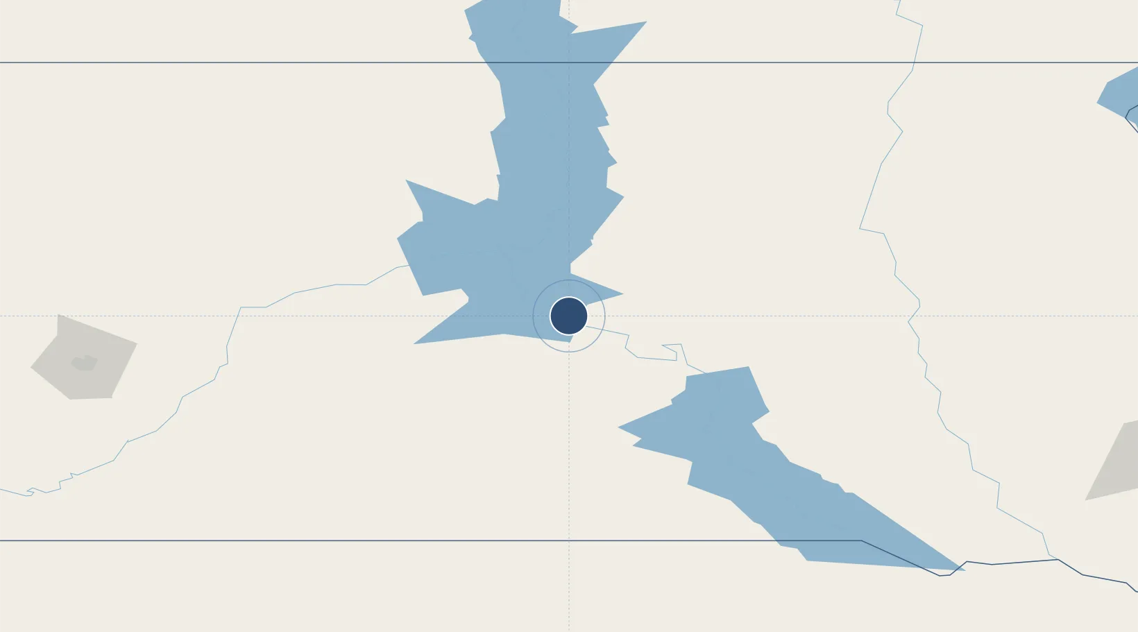
44.3827°, -100.2860°
6,900 ft
Longest runway
2
Runways
1,744 ft
Elevation
Runway & Layout

Radio Frequencies
ASOS
119.025 MHz
CTAF
122.7 MHz
CNTR
125.1 MHz
MINNEAPOLIS CNTR
RDO
122.2 MHz
HURON RDO
UNIC
122.95 MHz
UNICOM
Navaids
PIR VORTAC Pierre 112.50 MHz
Runways · 2
| Runway | Dimensions | Surface | True heading | Lit |
|---|---|---|---|---|
| 13/31 | 6,900 × 100ft | Asphalt | 141° | ✓ |
| 07/25 | 6,880 × 100ft | Asphalt | 077° | ✓ |
Airport Specifications
IATA code
PIR
ICAO code
KPIR
Airport class
Medium airport
Scheduled service
Yes
Runway surface
Asphalt
Served city
Pierre
Location
Nearby Logistics Neighbours
Airports
- 1Mobridge Municipal Airport130 km
- 2Huron Regional Airport164 km
- 3Miller Field171 km
- 4Aberdeen Regional Airport189 km
- 5Rapid City Regional Airport224 km
Cities
- 1Fort Pierre7 km
- 2Onida39 km
- 3White River98 km
- 4Faulkton116 km
- 5Winner118 km
Ports
- 1Duluth690 km
- 2Superior691 km
- 3Two Harbors731 km
- 4Ashland774 km
- 5Washburn775 km
Trade Zones
- 1FTZ No. 220 Sioux Falls294 km
- 2FTZ No. 288 Northwest Iowa364 km
- 3FTZ No. 267 Fargo377 km
- 4FTZ No. 103 Grand Forks460 km
- 5FTZ No. 059 Lincoln488 km
DatabookThe Record of Consolidated Knowledge
United States beyond logistics?