UN/LOCODE hub · United States
USIRI
White River
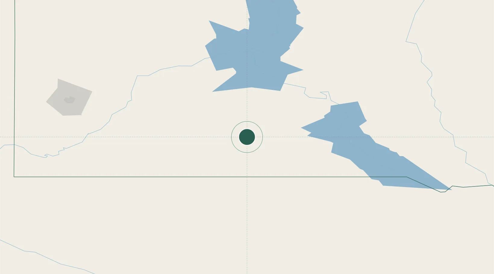
43.5667°, -100.7500°
575
Population
2
Transport functions
Transport Functions
Road
Multimodal
Hub Profile
Place type
Provincial seat
Region
South Dakota
Population
575
Time zone
America/Chicago
Elevation
651 m
Location
Nearby Logistics Neighbours
Cities
- 1Winner75 km
- 2Sparks81 km
- 3Fort Pierre92 km
- 4Onida137 km
- 5Ellsworth Air Force Base197 km
Ports
- 1Duluth765 km
- 2Superior766 km
- 3Two Harbors808 km
- 4Ashland845 km
- 5Washburn847 km
Airports
- 1Miller Field81 km
- 2Pierre Regional Airport98 km
- 3Rapid City Regional Airport193 km
- 4Ellsworth Air Force Base199 km
- 5Chadron Municipal Airport207 km
Trade Zones
- 1FTZ No. 220 Sioux Falls319 km
- 2FTZ No. 288 Northwest Iowa381 km
- 3FTZ No. 059 Lincoln446 km
- 4FTZ No. 267 Fargo470 km
- 5FTZ No. 133 Quad-Cities, Iowa Illinois528 km
DatabookThe Record of Consolidated Knowledge
United States beyond logistics?