Medium airport · United States
Mobridge Municipal AirportKMBG
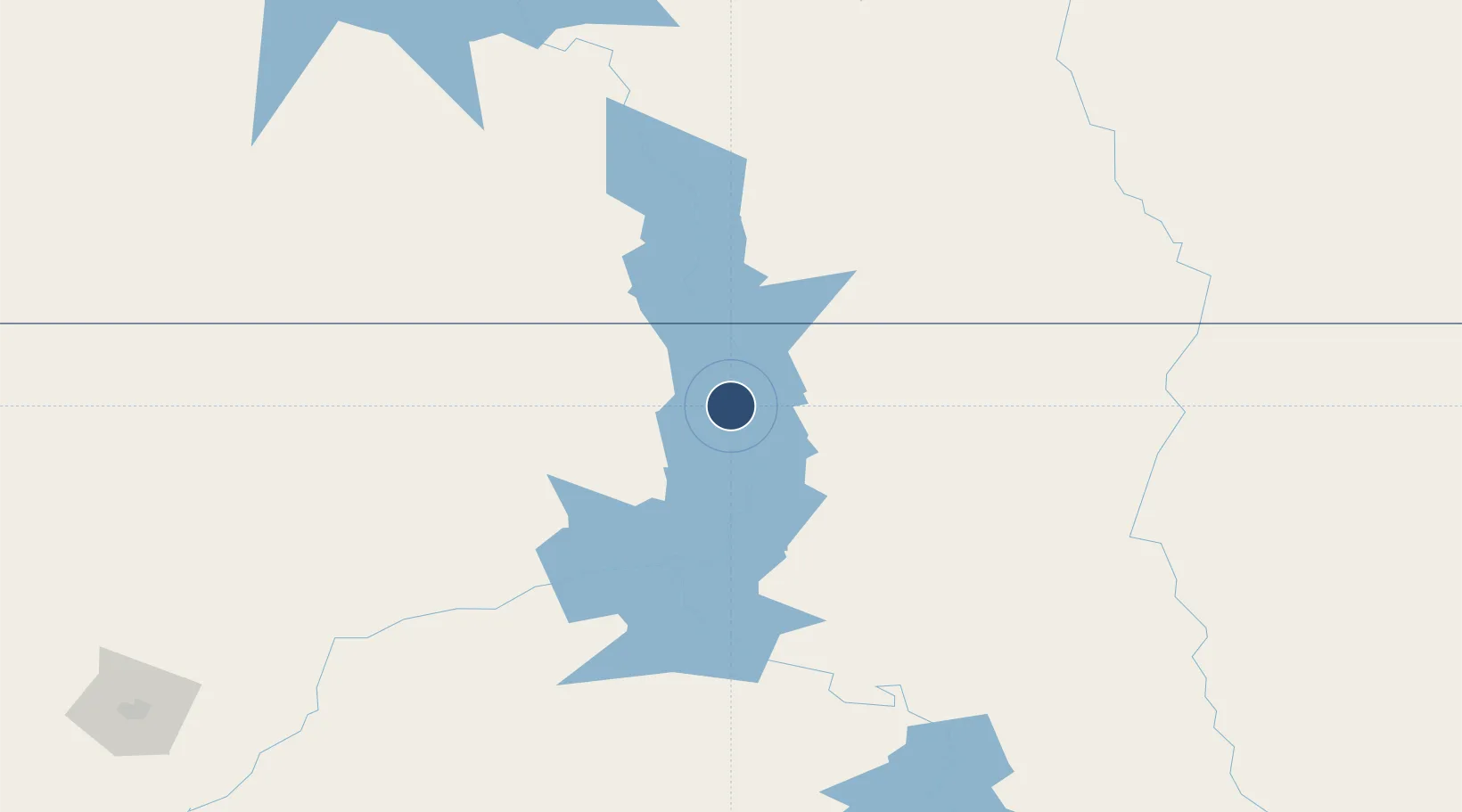
45.5465°, -100.4080°
4,410 ft
Longest runway
2
Runways
1,716 ft
Elevation
Runway & Layout

Radio Frequencies
ASOS
121.425 MHz
RDO
122.35 MHz
HURON RDO
UNIC
122.8 MHz
CTAF/UNICOM
Runways · 2
| Runway | Dimensions | Surface | True heading | Lit |
|---|---|---|---|---|
| 12/30 | 4,410 × 75ft | Asphalt | 127° | ✓ |
| 17/35 | 2,387 × 250ft | Grass | 180° | — |
Airport Specifications
IATA code
MBG
ICAO code
KMBG
Airport class
Medium airport
Scheduled service
No
Runway surface
Asphalt
Served city
Mobridge
Location
Nearby Logistics Neighbours
Airports
- 1Pierre Regional Airport130 km
- 2Bismarck Municipal Airport139 km
- 3Aberdeen Regional Airport155 km
- 4Jamestown Regional Airport203 km
- 5Huron Regional Airport215 km
Cities
- 1Hosmer73 km
- 2Onida98 km
- 3Faulkton115 km
- 4Fort Pierre133 km
- 5Mandan146 km
Ports
- 1Duluth654 km
- 2Superior656 km
- 3Two Harbors692 km
- 4Washburn744 km
- 5Ashland745 km
Trade Zones
- 1FTZ No. 267 Fargo302 km
- 2FTZ No. 103 Grand Forks361 km
- 3FTZ No. 220 Sioux Falls362 km
- 4FTZ No. 288 Northwest Iowa435 km
- 5Winnipegs Centreport Canada542 km
DatabookThe Record of Consolidated Knowledge
United States beyond logistics?