Transport Functions
Multimodal
Hub Profile
Place type
Populated place
Region
Nebraska
Time zone
America/Chicago
Elevation
793 m
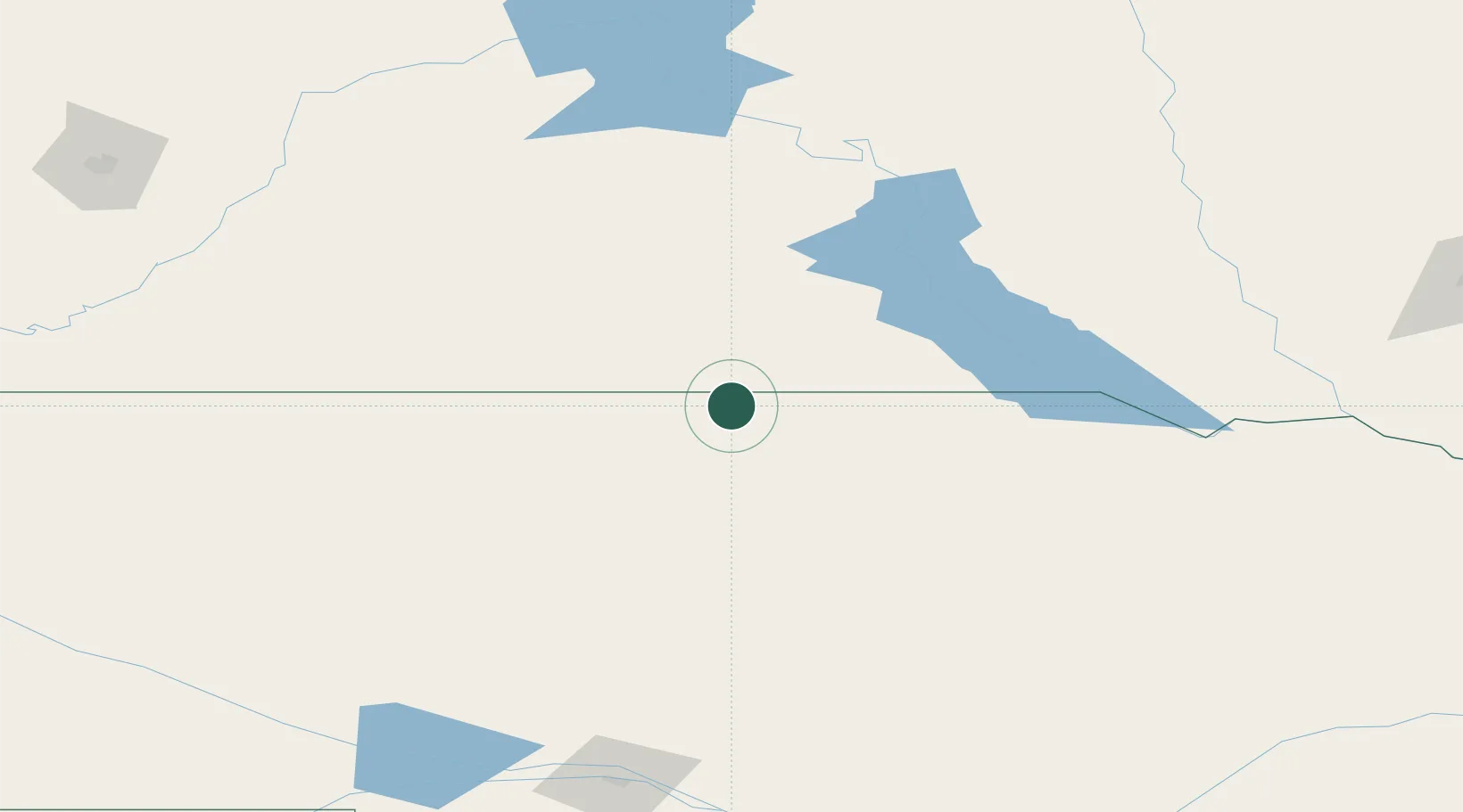
Location
Nearby Logistics Neighbours
Cities
- 1Winner57 km
- 2White River81 km
- 3Fort Pierre158 km
- 4Ewing174 km
- 5Bartlett182 km
Ports
- 1Duluth770 km
- 2Superior771 km
- 3Two Harbors814 km
- 4Ashland845 km
- 5Washburn847 km
Airports
- 1Miller Field26 km
- 2Pierre Regional Airport161 km
- 3North Platte Regional Airport Lee Bird Field204 km
- 4Huron Regional Airport229 km
- 5Alliance Municipal Airport231 km
Trade Zones
- 1FTZ No. 220 Sioux Falls288 km
- 2FTZ No. 288 Northwest Iowa340 km
- 3FTZ No. 059 Lincoln369 km
- 4FTZ No. 133 Quad-Cities, Iowa Illinois450 km
- 5FTZ No. 293 Limon500 km
DatabookThe Record of Consolidated Knowledge
United States beyond logistics?