Transport Functions
Rail
Road
Multimodal
Hub Profile
Place type
Provincial seat
Region
South Dakota
Population
658
Time zone
America/Chicago
Elevation
571 m
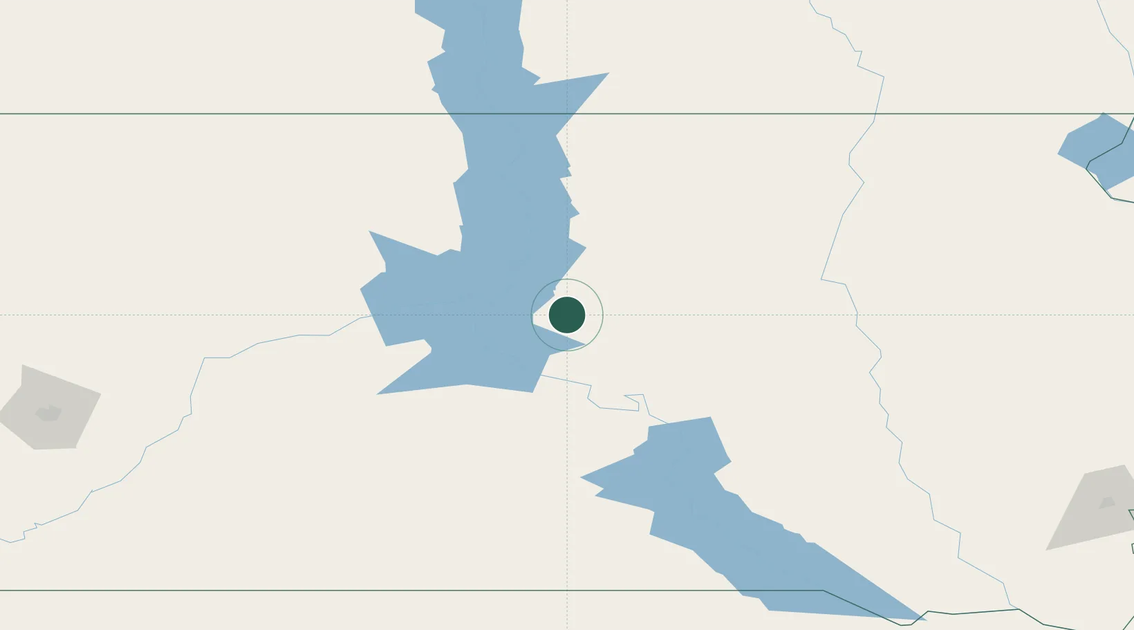
Location
Nearby Logistics Neighbours
Cities
- 1Fort Pierre46 km
- 2Faulkton82 km
- 3Hosmer107 km
- 4White River137 km
- 5Frankfort141 km
Ports
- 1Duluth659 km
- 2Superior661 km
- 3Two Harbors700 km
- 4Ashland745 km
- 5Washburn746 km
Airports
- 1Pierre Regional Airport39 km
- 2Mobridge Municipal Airport98 km
- 3Huron Regional Airport150 km
- 4Aberdeen Regional Airport154 km
- 5Miller Field209 km
Trade Zones
- 1FTZ No. 220 Sioux Falls291 km
- 2FTZ No. 267 Fargo339 km
- 3FTZ No. 288 Northwest Iowa363 km
- 4FTZ No. 103 Grand Forks421 km
- 5FTZ No. 059 Lincoln508 km
DatabookThe Record of Consolidated Knowledge
United States beyond logistics?