Medium airport · United States

Miller FieldKVTN

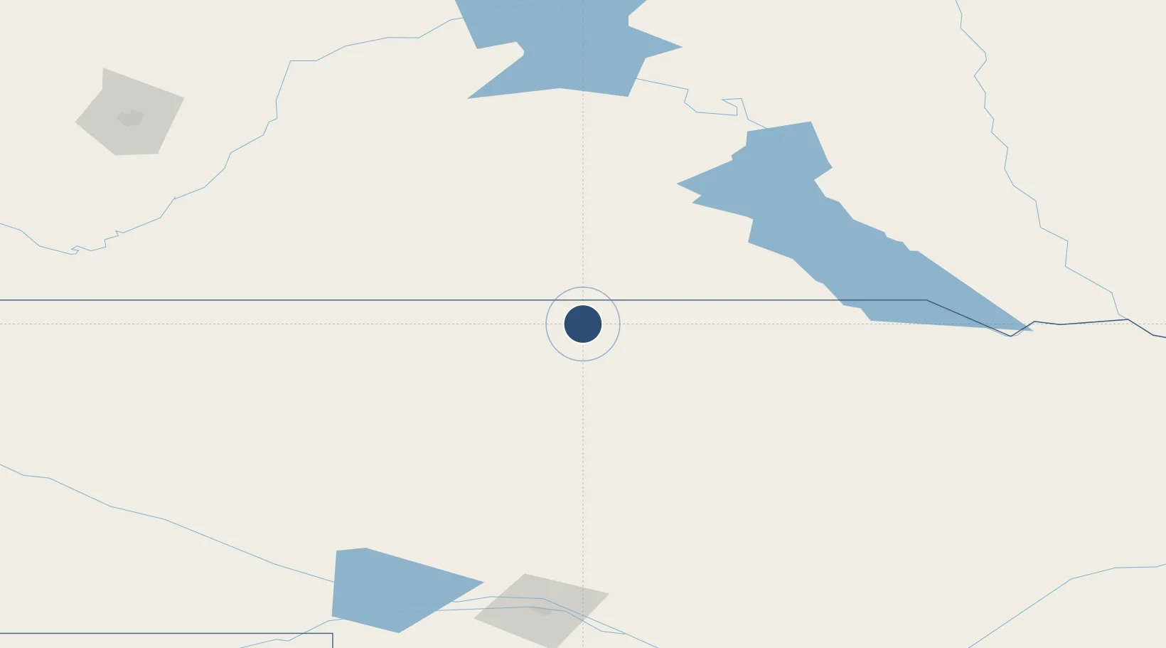
42.8562°, -100.5492°
4,705 ft
Longest runway
2
Runways
2,596 ft
Elevation

Runway & Layout

Miller Field runway & taxiway layout
Runway & taxiway layout — OpenStreetMap (ODbL) / OurAirports

Radio Frequencies

ASOS
118.075 MHz
CNTR
127.95 MHz
DENVER CNTR
UNIC
122.8 MHz
CTAF/UNICOM
OurAirports

Runways · 2

RunwayDimensions SurfaceTrue headingLit
14/32 4,705 × 75ft Asphalt 145°
03/21 3,701 × 60ft Asphalt 036°
OurAirports

Airport Specifications

IATA code
VTN
OurAirports
ICAO code
KVTN
OurAirports
Airport class
Medium airport
OurAirports
Scheduled service
No
OurAirports
Runway surface
Asphalt
OurAirports
Served city
Valentine
OurAirports

Location

Location of KVTN
Natural Earth 10m (public domain) · Nebraska · KVTN · 42.86, -100.55GoogleOSMYandex

Nearby Logistics Neighbours

Airports
  1. 1Pierre Regional Airport171 km
  2. 2North Platte Regional Airport Lee Bird Field193 km
  3. 3Alliance Municipal Airport205 km
  4. 4Chadron Municipal Airport208 km
  5. 5Rapid City Regional Airport242 km
Nearest neighbours — logibook spatial index (haversine) over the source coordinates
Cities
  1. 1Sparks26 km
  2. 2Winner79 km
  3. 3White River81 km
  4. 4Fort Pierre167 km
  5. 5Ewing194 km
Nearest neighbours — logibook spatial index (haversine) over the source coordinates
Ports
  1. 1Duluth795 km
  2. 2Superior796 km
  3. 3Two Harbors839 km
  4. 4Ashland870 km
  5. 5Washburn872 km
Nearest neighbours — logibook spatial index (haversine) over the source coordinates
Trade Zones
  1. 1FTZ No. 220 Sioux Falls314 km
  2. 2FTZ No. 288 Northwest Iowa365 km
  3. 3FTZ No. 059 Lincoln384 km
  4. 4FTZ No. 133 Quad-Cities, Iowa Illinois463 km
  5. 5FTZ No. 293 Limon479 km
Nearest neighbours — logibook spatial index (haversine) over the source coordinates
DatabookThe Record of Consolidated Knowledge
United States beyond logistics?
Browse databook

All Sources

AirportsOurAirports
Public domain
Portsthe NGA World Port Index
Public domain (US gov)
LocationsUN/LOCODE
UN/LOCODE — free
Trade Zonesthe World Bank SEZ database
CC BY 4.0
Trade ZonesOpen Zone Map
CC BY
InfrastructureOpenStreetMap
ODbL 1.0
← United States airports