UN/LOCODE hub · United States
USOSK
Woonsocket
44.0500°, -98.2667°
659
Population
2
Transport functions
Transport Functions
Road
Multimodal
Hub Profile
Place type
Provincial seat
Region
South Dakota
Population
659
Time zone
America/Chicago
Elevation
398 m
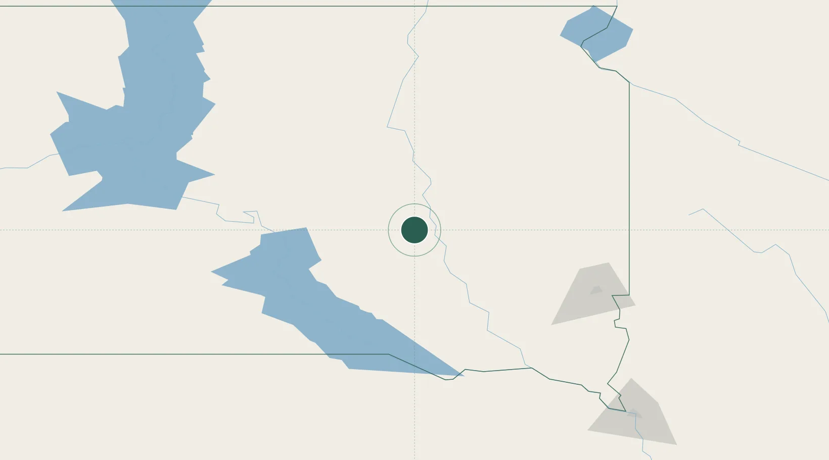
Location
Nearby Logistics Neighbours
Cities
- 1Emery72 km
- 2Parkston76 km
- 3Salem79 km
- 4Oldham80 km
- 5Bridgewater83 km
Ports
- 1Duluth568 km
- 2Superior568 km
- 3Two Harbors612 km
- 4Ashland644 km
- 5Washburn646 km
Airports
- 1Huron Regional Airport37 km
- 2Watertown Regional Airport130 km
- 3Sioux Falls Regional Airport133 km
- 4Chan Gurney Municipal Airport145 km
- 5Aberdeen Regional Airport156 km
Trade Zones
- 1FTZ No. 220 Sioux Falls131 km
- 2FTZ No. 288 Northwest Iowa202 km
- 3FTZ No. 267 Fargo328 km
- 4FTZ No. 059 Lincoln380 km
- 5FTZ No. 119 Minneapolis-St. Paul412 km
DatabookThe Record of Consolidated Knowledge
United States beyond logistics?