Transport Functions
Port
Hub Profile
Place type
Populated place
Region
Wisconsin
Time zone
America/Chicago
Elevation
465 m
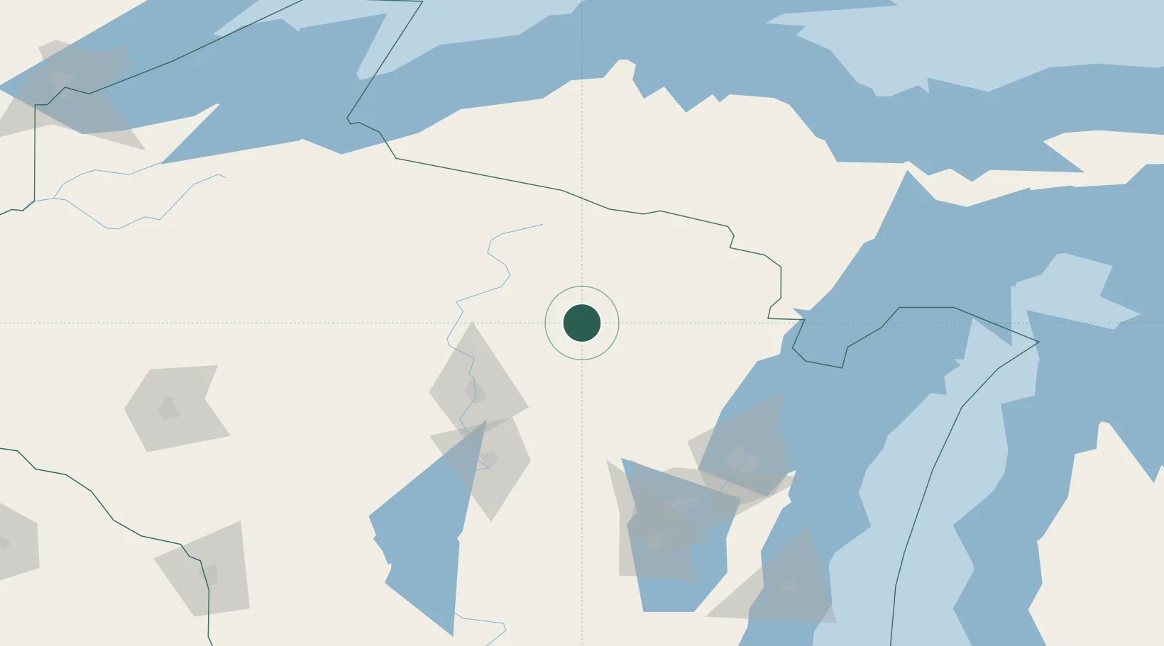
Location
Nearby Logistics Neighbours
Cities
- 1Bryant17 km
- 2Crandon25 km
- 3White Lake30 km
- 4Mountain46 km
- 5Birnamwood49 km
Airports
Trade Zones
- 1FTZ No. 167 Brown County114 km
- 2FTZ No. 266 Dane County260 km
- 3FTZ No. 041 Milwaukee265 km
- 4FTZ No. 019 Omaha290 km
- 5FTZ No. 051 Duluth296 km
DatabookThe Record of Consolidated Knowledge
United States beyond logistics?