Transport Functions
Port
Hub Profile
Place type
Populated place
Region
Wisconsin
Population
363
Time zone
America/Chicago
Elevation
296 m
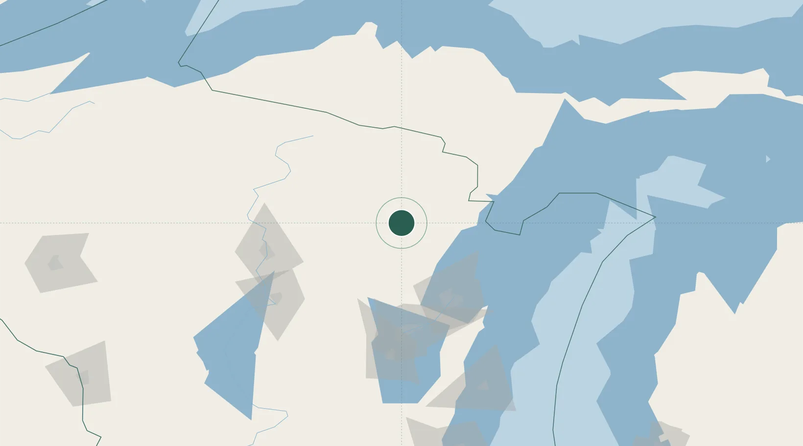
Location
Nearby Logistics Neighbours
Cities
- 1White Lake23 km
- 2Pound35 km
- 3Crivitz37 km
- 4Coleman37 km
- 5Bryant43 km
Ports
- 1Oconto60 km
- 2Marinette69 km
- 3Menominee70 km
- 4Green Bay82 km
- 5Sturgeon Bay94 km
Airports
Trade Zones
- 1FTZ No. 167 Brown County82 km
- 2FTZ No. 041 Milwaukee238 km
- 3FTZ No. 019 Omaha251 km
- 4FTZ No. 266 Dane County255 km
- 5FTZ No. 189 Kent Ottawa/Muskegon Counties277 km
DatabookThe Record of Consolidated Knowledge
United States beyond logistics?