Transport Functions
Road
Multimodal
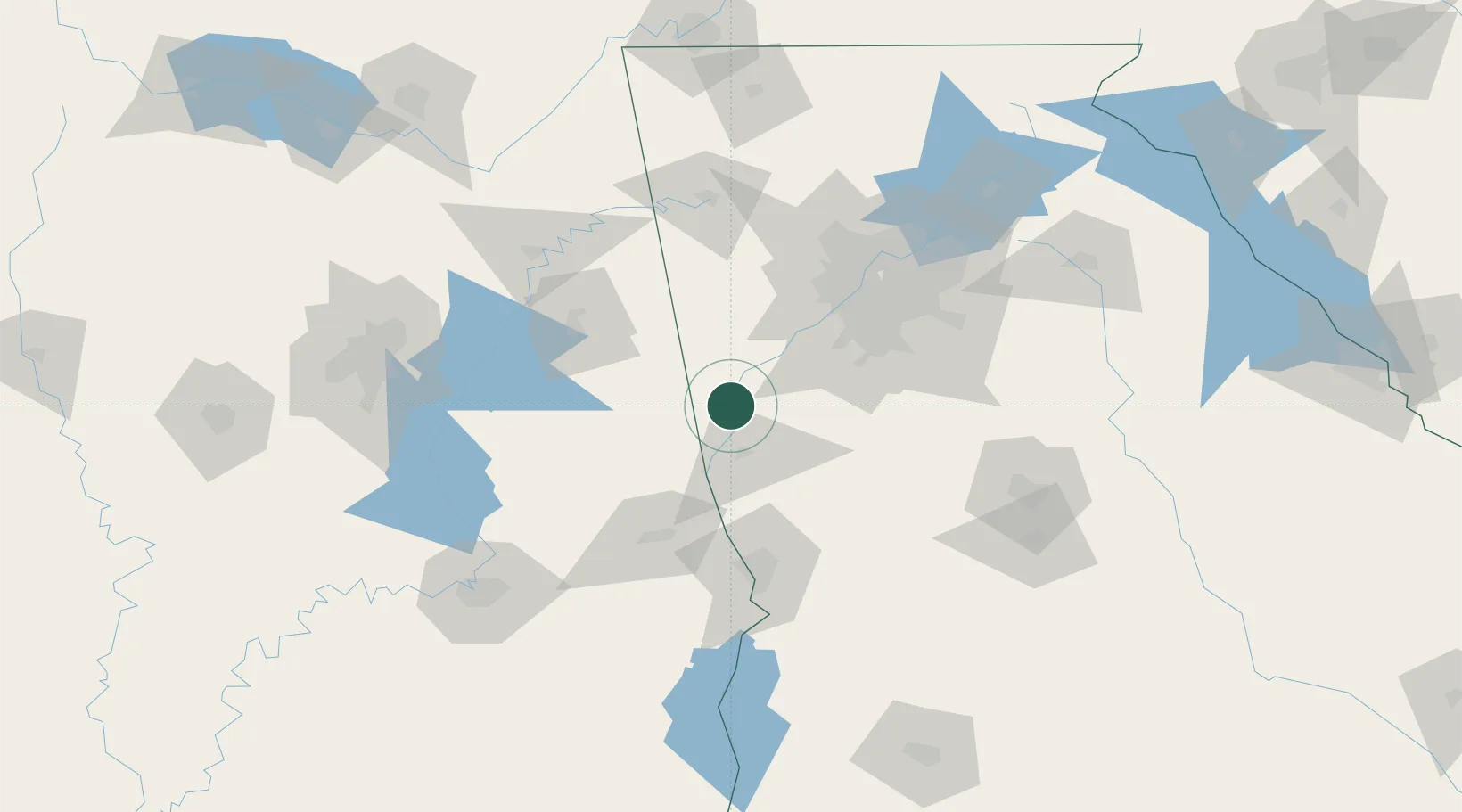
Hub Profile
Place type
Provincial seat
Region
Georgia
Population
969
Time zone
America/New_York
Elevation
202 m
Location
Nearby Logistics Neighbours
Cities
- 1Grantville24 km
- 2LaGrange27 km
- 3Roanoke29 km
- 4Wedowee37 km
- 5West Point45 km
Ports
- 1Panama City353 km
- 2Pensacola377 km
- 3Carrabelle382 km
- 4Port St Joe384 km
- 5Apalachicola395 km
Airports
Trade Zones
- 1FTZ No. 026 Atlanta85 km
- 2FTZ No. 222 Montgomery152 km
- 3FTZ No. 098 Birmingham163 km
- 4FTZ No. 134 Chattanooga206 km
- 5FTZ No. 083 Huntsville218 km
DatabookThe Record of Consolidated Knowledge
United States beyond logistics?