UN/LOCODE hub · United States
USGDC
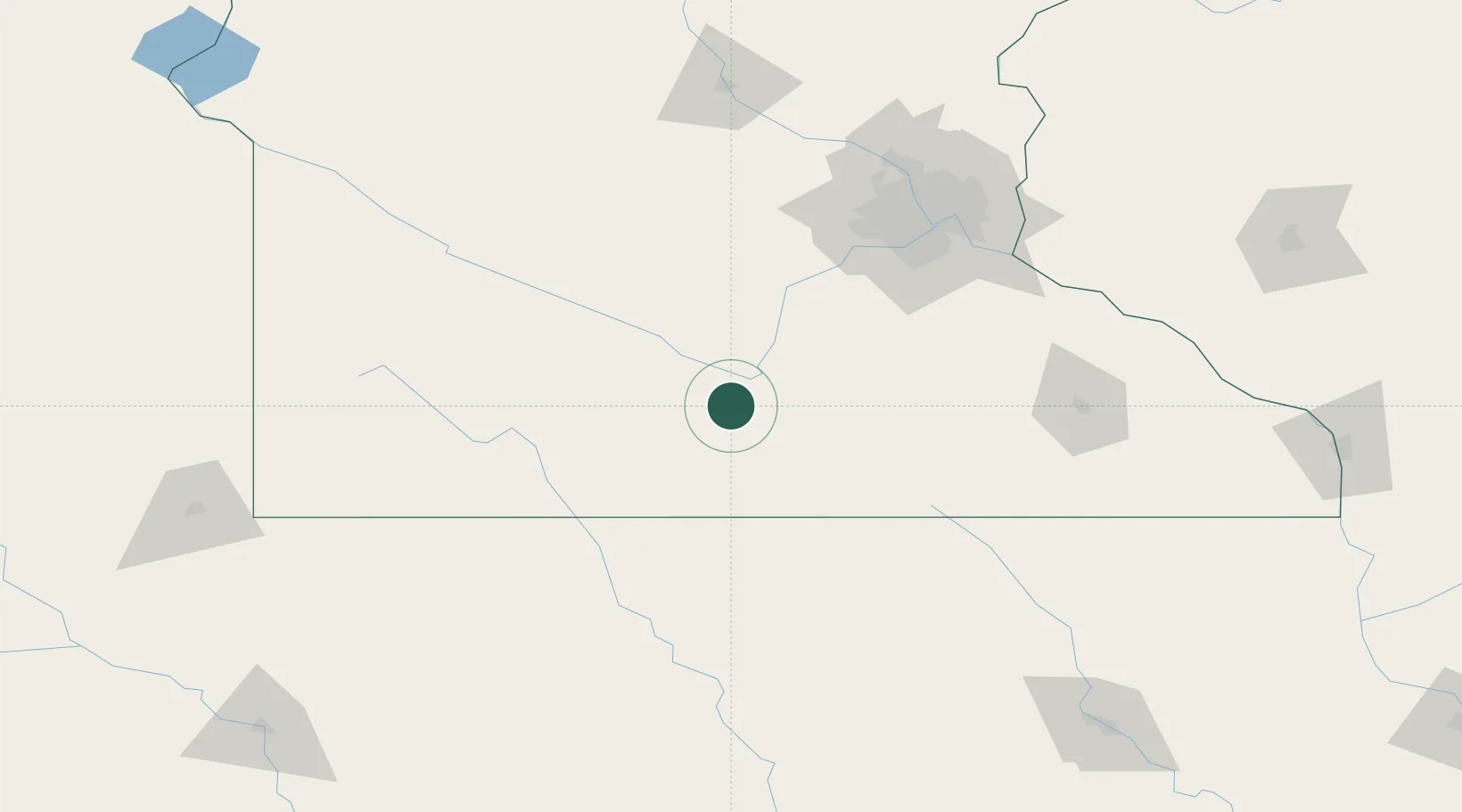
Garden City
44.0333°, -94.1667°
255
Population
2
Transport functions
Transport Functions
Road
Multimodal
Hub Profile
Place type
Populated place
Region
Minnesota
Population
255
Time zone
America/Chicago
Elevation
280 m
Location
Nearby Logistics Neighbours
Cities
- 1Mapleton22 km
- 2Winnebago, Faribault30 km
- 3Kasota32 km
- 4Truman32 km
- 5Saint Peter36 km
Ports
- 1Superior342 km
- 2Duluth344 km
- 3Ashland385 km
- 4Two Harbors385 km
- 5Washburn389 km
Airports
Trade Zones
- 1FTZ No. 119 Minneapolis-St. Paul128 km
- 2FTZ No. 288 Northwest Iowa182 km
- 3FTZ No. 220 Sioux Falls218 km
- 4FTZ No. 107 Polk County265 km
- 5FTZ No. 175 Cedar Rapids300 km
DatabookThe Record of Consolidated Knowledge
United States beyond logistics?