UN/LOCODE hub · United States
USXSS
Cassville
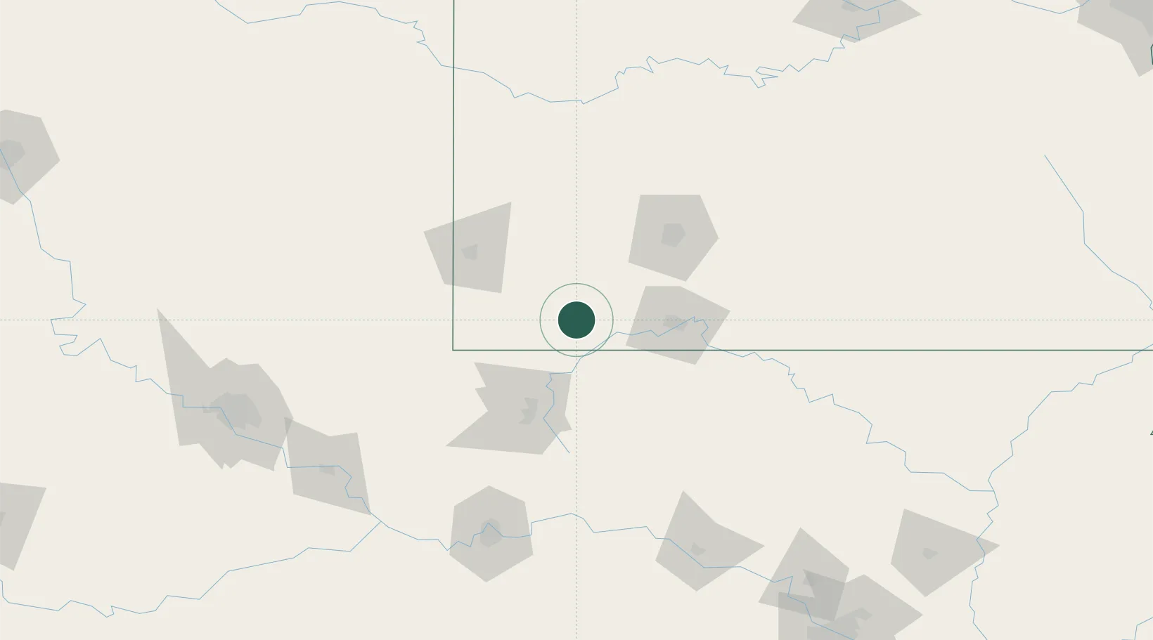
36.6833°, -93.8667°
3,306
Population
2
Transport functions
Transport Functions
Port
Road
Hub Profile
Place type
Provincial seat
Region
Missouri
Population
3,306
Time zone
America/Chicago
Elevation
399 m
Location
Nearby Logistics Neighbours
Cities
- 1Purdy16 km
- 2Jenkins20 km
- 3Golden27 km
- 4Garfield29 km
- 5Pierce City30 km
Ports
- 1Port Of Memphis379 km
- 2Lake Charles721 km
- 3Orange734 km
- 4Beaumont734 km
- 5Baton Rouge736 km
Airports
Trade Zones
- 1FTZ No. 225 Springfield86 km
- 2FTZ No. 164 Muskogee177 km
- 3FTZ No. 053 Rogers County182 km
- 4FTZ No. 015 Kansas City256 km
- 5FTZ No. 014 Little Rock266 km
DatabookThe Record of Consolidated Knowledge
United States beyond logistics?