UN/LOCODE hub · United States
USAZ8
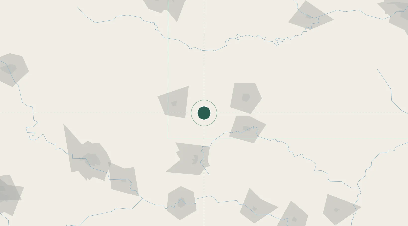
Pierce City
36.9333°, -94.0000°
1,279
Population
1
Transport functions
Transport Functions
Multimodal
Hub Profile
Place type
Populated place
Region
Missouri
Population
1,279
Time zone
America/Chicago
Elevation
371 m
Location
Nearby Logistics Neighbours
Cities
- 1Purdy15 km
- 2Mount Vernon25 km
- 3Reeds25 km
- 4Cassville30 km
- 5Jenkins33 km
Ports
- 1Port Of Memphis402 km
- 2Lake Charles750 km
- 3Beaumont762 km
- 4Orange762 km
- 5Baton Rouge767 km
Airports
- 1Joplin Regional Airport51 km
- 2Springfield Branson National Airport64 km
- 3Northwest Arkansas National Airport77 km
- 4Branson Airport84 km
- 5Drake Field104 km
Trade Zones
- 1FTZ No. 225 Springfield81 km
- 2FTZ No. 053 Rogers County178 km
- 3FTZ No. 164 Muskogee186 km
- 4FTZ No. 015 Kansas City226 km
- 5FTZ No. 017 Kansas City251 km
DatabookThe Record of Consolidated Knowledge
United States beyond logistics?