Transport Functions
Rail
Road
Multimodal
Hub Profile
Place type
Populated place
Region
Missouri
Population
1,103
Time zone
America/Chicago
Elevation
452 m
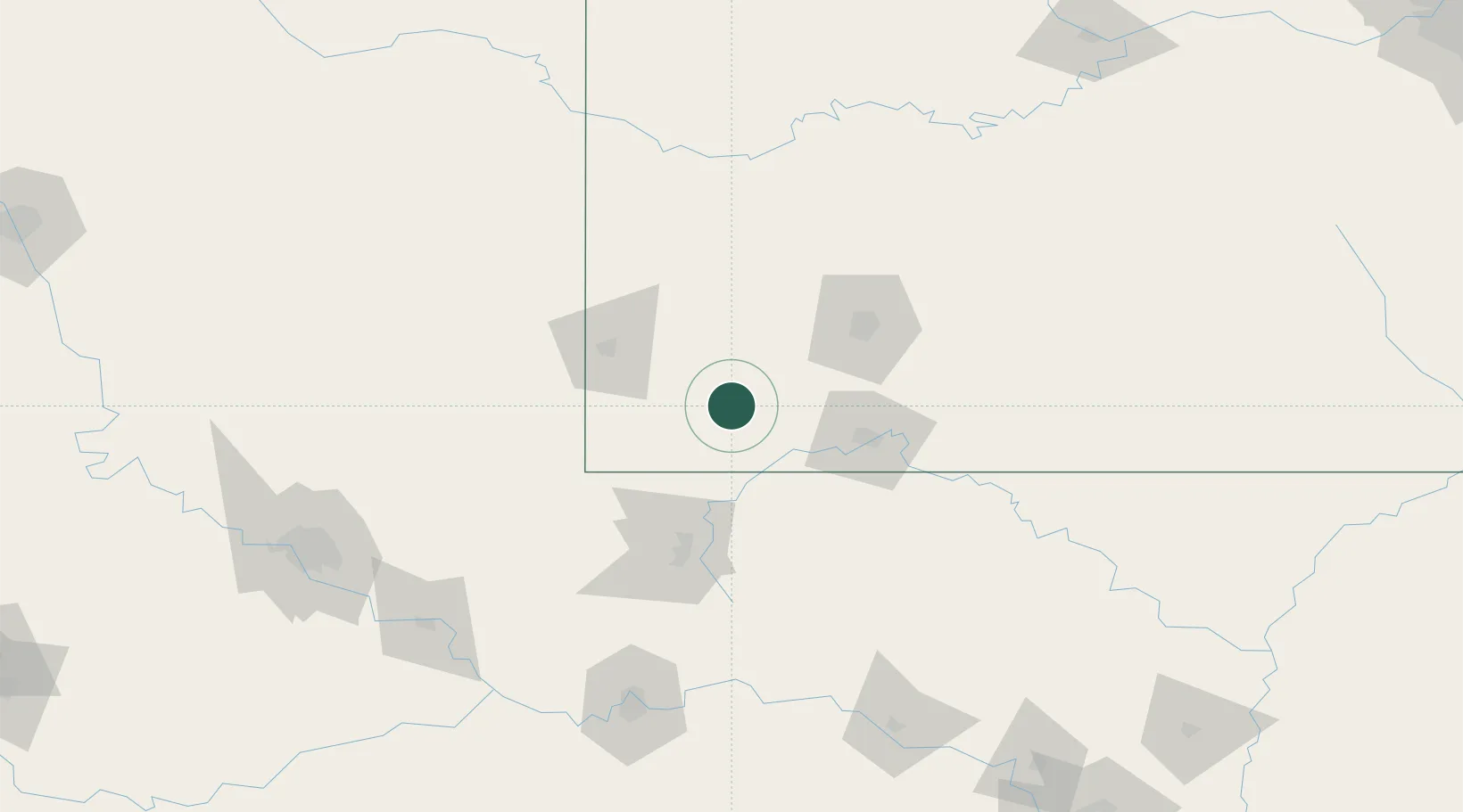
Location
Nearby Logistics Neighbours
Cities
- 1Pierce City15 km
- 2Cassville16 km
- 3Jenkins21 km
- 4Marionville32 km
- 5Mount Vernon33 km
Ports
- 1Port Of Memphis390 km
- 2Lake Charles737 km
- 3Beaumont749 km
- 4Orange749 km
- 5Baton Rouge752 km
Airports
Trade Zones
- 1FTZ No. 225 Springfield80 km
- 2FTZ No. 053 Rogers County181 km
- 3FTZ No. 164 Muskogee182 km
- 4FTZ No. 015 Kansas City241 km
- 5FTZ No. 017 Kansas City266 km
DatabookThe Record of Consolidated Knowledge
United States beyond logistics?