UN/LOCODE hub · United States
USFI3
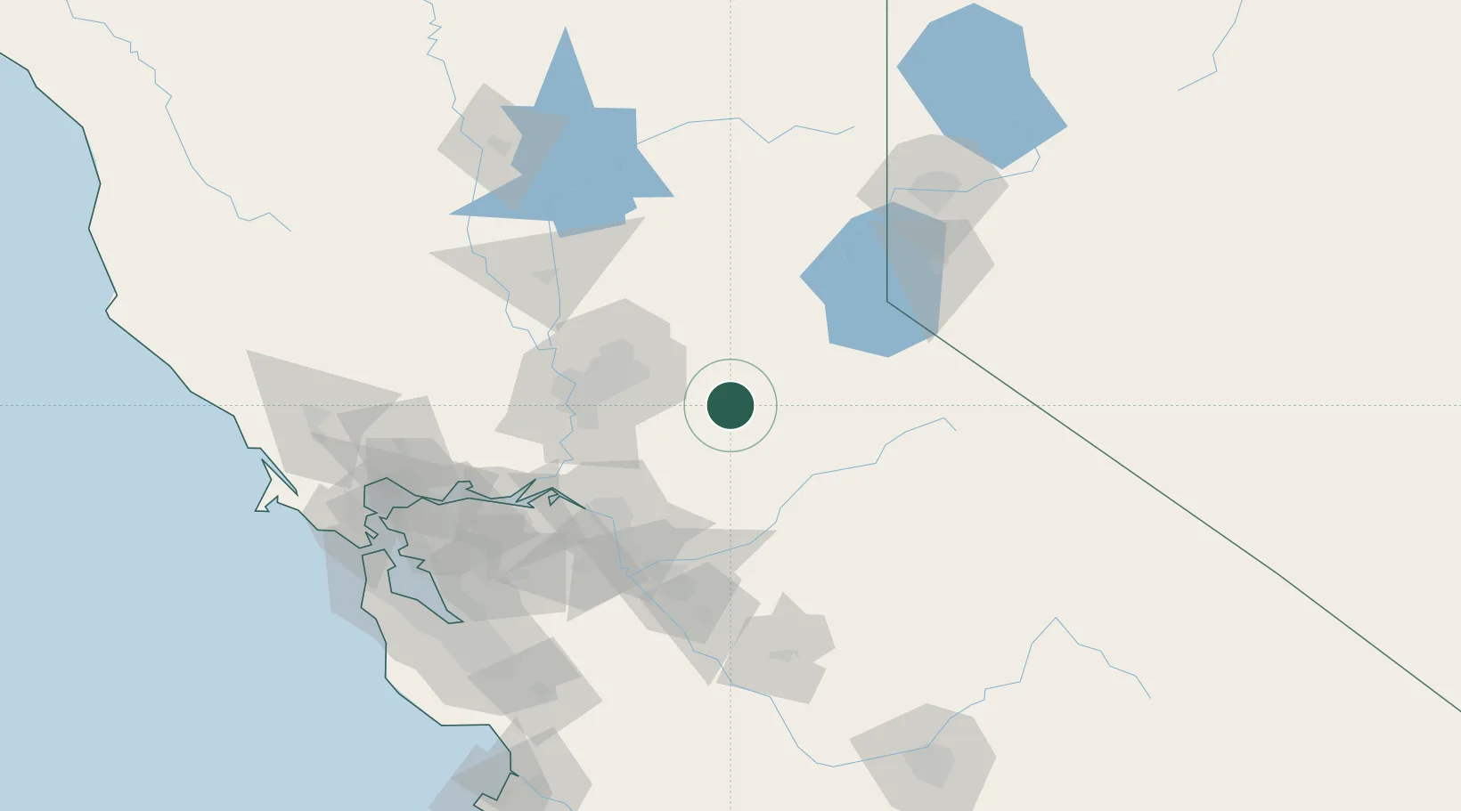
Fiddletown
38.5000°, -120.7500°
235
Population
2
Transport functions
Transport Functions
Port
Road
Hub Profile
Place type
Populated place
Region
California
Population
235
Time zone
America/Los_Angeles
Elevation
513 m
Location
Nearby Logistics Neighbours
Cities
- 1Drytown11 km
- 2Fair Play13 km
- 3Sutter Creek14 km
- 4El Dorado21 km
- 5Shingle Springs22 km
Ports
- 1Sacramento66 km
- 2Walnut Grove73 km
- 3Courtland74 km
- 4Stockton78 km
- 5Isleton83 km
Airports
Trade Zones
- 1FTZ No. 143 West Sacramento68 km
- 2FTZ No. 231 Stockton79 km
- 3FTZ No. 226 Merced, Madera and Fresno Counties135 km
- 4FTZ No. 126 Sparks146 km
- 5FTZ No. 056 Oakland154 km
DatabookThe Record of Consolidated Knowledge
United States beyond logistics?