UN/LOCODE hub · United States
USEHI
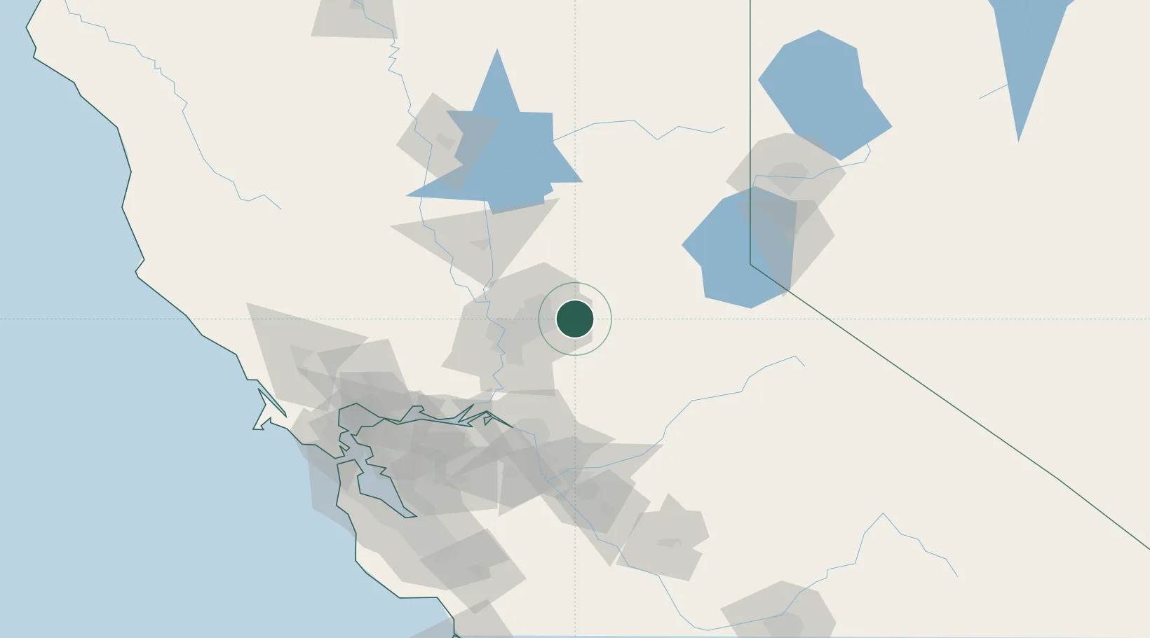
El Dorado Hills
38.6667°, -121.0667°
42,108
Population
3
Transport functions
Transport Functions
Port
Road
Multimodal
Hub Profile
Place type
Populated place
Region
California
Population
42,108
Time zone
America/Los_Angeles
Elevation
234 m
Location
Nearby Logistics Neighbours
Cities
- 1Rescue11 km
- 2Orangevale13 km
- 3Shingle Springs13 km
- 4Granite Bay14 km
- 5El Dorado19 km
Ports
- 1Sacramento39 km
- 2Courtland57 km
- 3Walnut Grove62 km
- 4Isleton73 km
- 5Rio Vista80 km
Airports
Trade Zones
- 1FTZ No. 143 West Sacramento41 km
- 2FTZ No. 231 Stockton83 km
- 3FTZ No. 056 Oakland142 km
- 4FTZ No. 126 Sparks150 km
- 5FTZ No. 003 San Francisco151 km
DatabookThe Record of Consolidated Knowledge
United States beyond logistics?