Transport Functions
Port
Rail
Road
Multimodal
Hub Profile
Place type
Populated place
Region
New York
Population
3,267
Time zone
America/New_York
Elevation
70 m
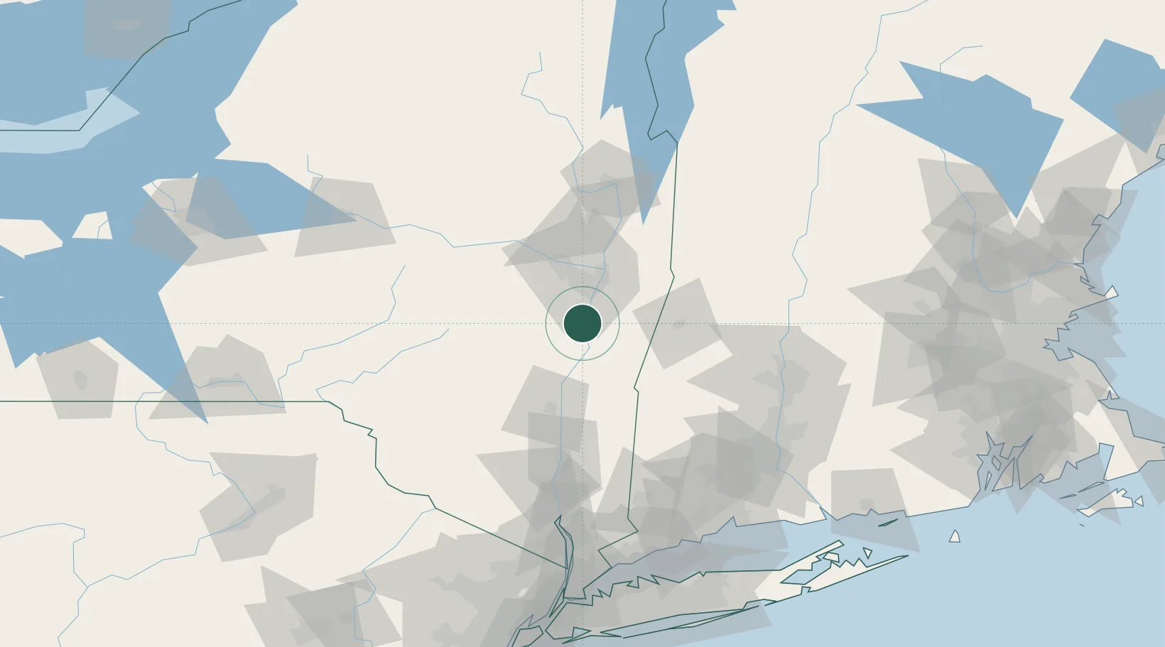
Location
Nearby Logistics Neighbours
Cities
- 1Schodack Landing4 km
- 2South Bethlehem6 km
- 3Coxsackie, Greene13 km
- 4Westerlo18 km
- 5Nassau18 km
Ports
- 1Albany21 km
- 2Rensselaer21 km
- 3Catskill28 km
- 4Troy31 km
- 5Kingston61 km
Airports
Trade Zones
- 1FTZ No. 121 Albany28 km
- 2FTZ No. 201 Holyoke95 km
- 3FTZ No. 268 Brattleboro109 km
- 4FTZ No. 071 Windsor Locks114 km
- 5FTZ No. 162 New Haven149 km
DatabookThe Record of Consolidated Knowledge
United States beyond logistics?