UN/LOCODE hub · United States
USSKN

Schodack Landing

42.4667°, -73.7667°
2
Transport functions

Transport Functions

Rail
Road
UN/LOCODE

Hub Profile

Place type
Populated place
GeoNames
Region
New York
GeoNames
Time zone
America/New_York
GeoNames
Elevation
18 m
GeoNames

Location

Location of USSKN
Natural Earth 10m (public domain) · New York · USSKN · 42.47, -73.77GoogleOSMYandex

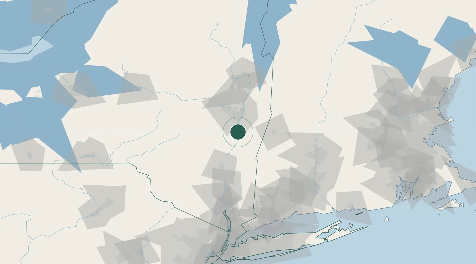
Nearby Logistics Neighbours

Cities
  1. 1Ravena4 km
  2. 2South Bethlehem8 km
  3. 3Coxsackie, Greene13 km
  4. 4Nassau14 km
  5. 5Ghent19 km
Nearest neighbours — logibook spatial index (haversine) over the source coordinates
Ports
  1. 1Albany20 km
  2. 2Rensselaer20 km
  3. 3Catskill29 km
  4. 4Troy30 km
  5. 5Kingston62 km
Nearest neighbours — logibook spatial index (haversine) over the source coordinates
Airports
  1. 1Albany International Airport31 km
  2. 2Schenectady County Airport45 km
  3. 3Westfield-Barnes Regional Airport93 km
  4. 4Dutchess County Airport94 km
  5. 5Floyd Bennett Memorial Airport98 km
Nearest neighbours — logibook spatial index (haversine) over the source coordinates
Trade Zones
  1. 1FTZ No. 121 Albany28 km
  2. 2FTZ No. 201 Holyoke91 km
  3. 3FTZ No. 268 Brattleboro105 km
  4. 4FTZ No. 071 Windsor Locks111 km
  5. 5FTZ No. 162 New Haven147 km
Nearest neighbours — logibook spatial index (haversine) over the source coordinates
DatabookThe Record of Consolidated Knowledge
United States beyond logistics?
Browse databook

All Sources

LocationsUN/LOCODE
UN/LOCODE — free
Portsthe NGA World Port Index
Public domain (US gov)
AirportsOurAirports
Public domain
Trade Zonesthe World Bank SEZ database
CC BY 4.0
Trade ZonesOpen Zone Map
CC BY
← United States locations