UN/LOCODE hub · United States
USNYU

Nassau

42.5000°, -73.6000°
1,124
Population
3
Transport functions

Transport Functions

Port
Road
Multimodal
UN/LOCODE

Hub Profile

Place type
Populated place
GeoNames
Region
New York
GeoNames
Population
1,124
GeoNames
Time zone
America/New_York
GeoNames
Elevation
123 m
GeoNames

Location

Location of USNYU
Natural Earth 10m (public domain) · New York · USNYU · 42.50, -73.60GoogleOSMYandex

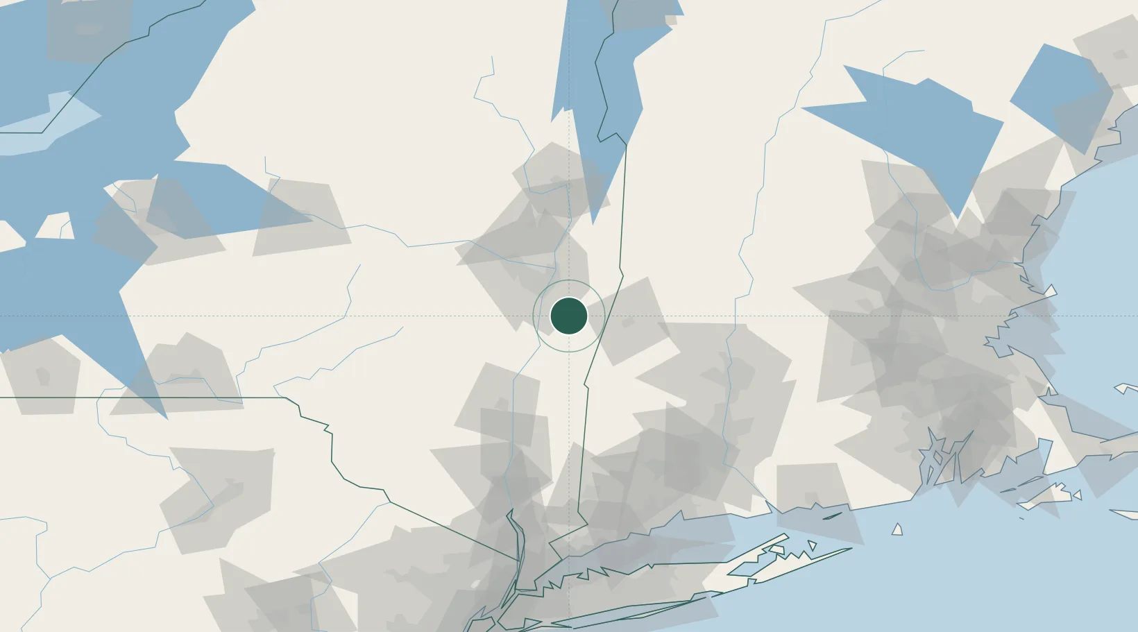
Nearby Logistics Neighbours

Cities
  1. 1Schodack Landing14 km
  2. 2Averill Park15 km
  3. 3Garfield18 km
  4. 4Ravena18 km
  5. 5Ghent19 km
Nearest neighbours — logibook spatial index (haversine) over the source coordinates
Ports
  1. 1Albany21 km
  2. 2Rensselaer21 km
  3. 3Troy27 km
  4. 4Catskill38 km
  5. 5Kingston70 km
Nearest neighbours — logibook spatial index (haversine) over the source coordinates
Airports
  1. 1Albany International Airport32 km
  2. 2Schenectady County Airport48 km
  3. 3Westfield-Barnes Regional Airport82 km
  4. 4Floyd Bennett Memorial Airport94 km
  5. 5Westover Metropolitan Airport / Westover Air Reserve Base94 km
Nearest neighbours — logibook spatial index (haversine) over the source coordinates
Trade Zones
  1. 1FTZ No. 121 Albany30 km
  2. 2FTZ No. 201 Holyoke79 km
  3. 3FTZ No. 268 Brattleboro91 km
  4. 4FTZ No. 071 Windsor Locks102 km
  5. 5FTZ No. 162 New Haven144 km
Nearest neighbours — logibook spatial index (haversine) over the source coordinates
DatabookThe Record of Consolidated Knowledge
United States beyond logistics?
Browse databook

All Sources

LocationsUN/LOCODE
UN/LOCODE — free
LocationsGeoNames
CC BY 4.0
Portsthe NGA World Port Index
Public domain (US gov)
AirportsOurAirports
Public domain
Trade Zonesthe World Bank SEZ database
CC BY 4.0
Trade ZonesOpen Zone Map
CC BY
← United States locations