Transport Functions
Port
Rail
Road
Hub Profile
Region
NY
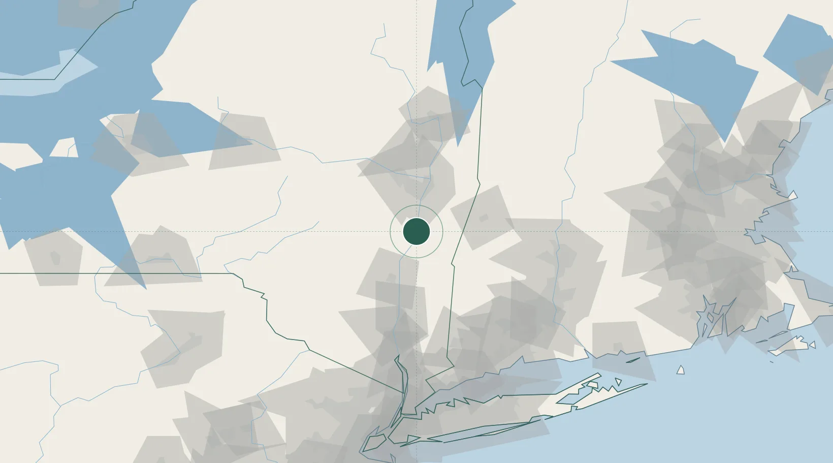
Location
Nearby Logistics Neighbours
Cities
- 1Ravena13 km
- 2Schodack Landing13 km
- 3Ghent15 km
- 4Philmont17 km
- 5South Bethlehem19 km
Ports
- 1Catskill15 km
- 2Albany34 km
- 3Rensselaer34 km
- 4Troy43 km
- 5Kingston48 km
Airports
Trade Zones
- 1FTZ No. 121 Albany41 km
- 2FTZ No. 201 Holyoke91 km
- 3FTZ No. 071 Windsor Locks107 km
- 4FTZ No. 268 Brattleboro113 km
- 5FTZ No. 162 New Haven137 km
DatabookThe Record of Consolidated Knowledge
United States beyond logistics?