UN/LOCODE hub · United States
USMV3
Mount Vernon
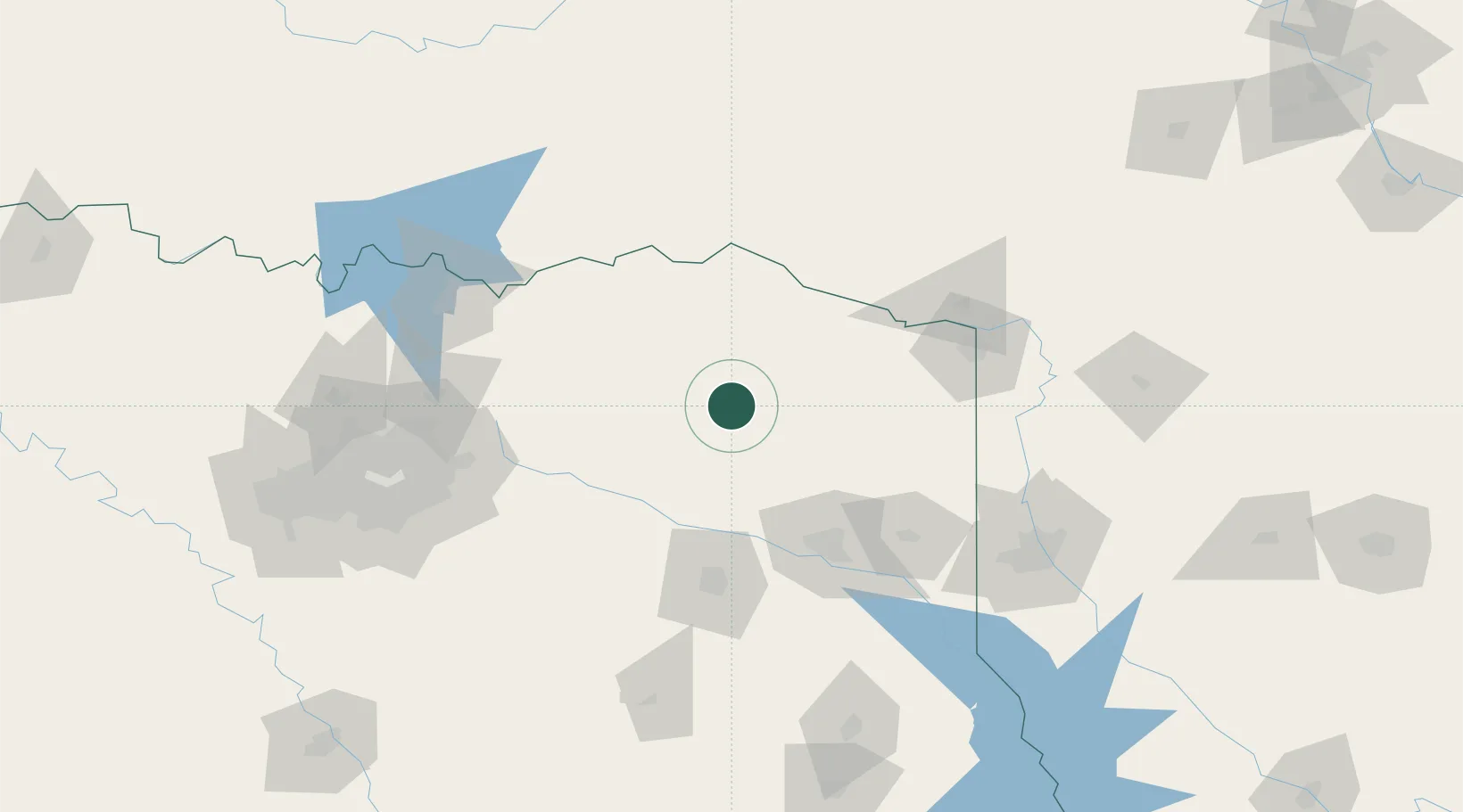
33.1833°, -95.2167°
2,753
Population
2
Transport functions
Transport Functions
Rail
Road
Hub Profile
Place type
Provincial seat
Region
Texas
Population
2,753
Time zone
America/Chicago
Elevation
150 m
Location
Nearby Logistics Neighbours
Cities
- 1Mount Pleasant23 km
- 2Leesburg26 km
- 3Webster31 km
- 4Deport38 km
- 5Cooper49 km
Ports
- 1Beaumont361 km
- 2Orange372 km
- 3Port Neches374 km
- 4Lake Charles379 km
- 5Houston382 km
Airports
Trade Zones
- 1FTZ No. 258 Bowie County60 km
- 2FTZ No. 234 Gregg County79 km
- 3FTZ No. 269 Athens127 km
- 4FTZ No. 227 Durant142 km
- 5FTZ No. 145 Shreveport143 km
DatabookThe Record of Consolidated Knowledge
United States beyond logistics?