Transport Functions
Road
Multimodal
Hub Profile
Place type
Populated place
Region
Texas
Population
566
Time zone
America/Chicago
Elevation
126 m
Logistics facilities
1
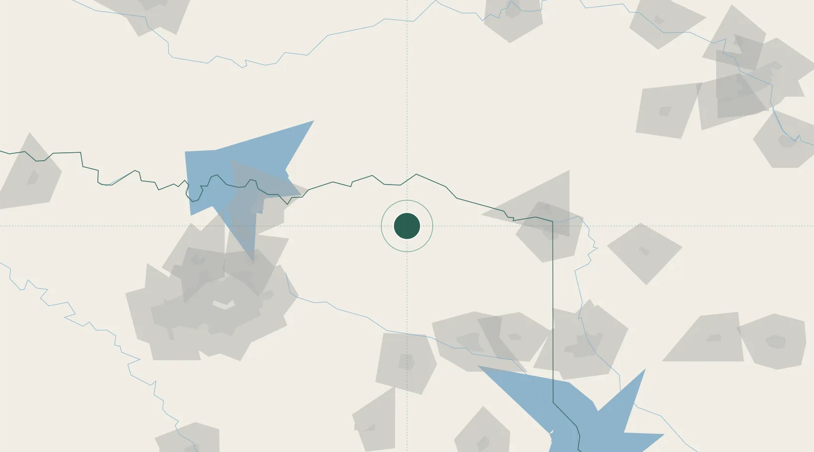
Location
Nearby Logistics Neighbours
Cities
- 1Detroit16 km
- 2Powderly37 km
- 3Mount Vernon38 km
- 4Cooper39 km
- 5Sumner42 km
Ports
- 1Beaumont399 km
- 2Orange410 km
- 3Port Neches411 km
- 4Lake Charles415 km
- 5Houston419 km
Airports
Trade Zones
- 1FTZ No. 258 Bowie County58 km
- 2FTZ No. 227 Durant115 km
- 3FTZ No. 234 Gregg County117 km
- 4FTZ No. 269 Athens157 km
- 5FTZ No. 145 Shreveport172 km
DatabookThe Record of Consolidated Knowledge
United States beyond logistics?