UN/LOCODE hub · United States
USTXX
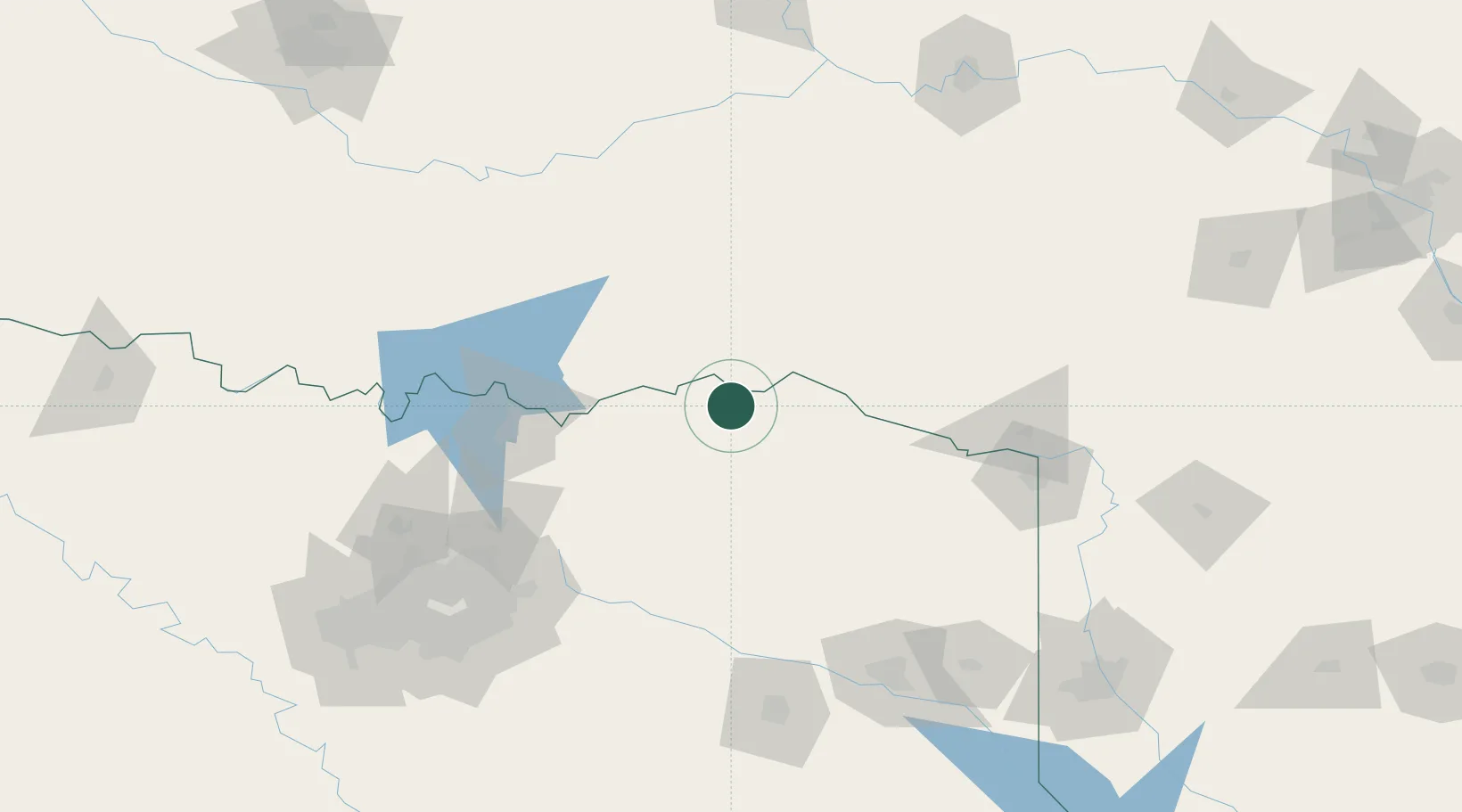
Powderly
33.8000°, -95.5167°
1,178
Population
1
Transport functions
Transport Functions
Port
Hub Profile
Place type
Populated place
Region
Texas
Population
1,178
Time zone
America/Chicago
Elevation
161 m
Location
Nearby Logistics Neighbours
Cities
- 1Arthur City8 km
- 2Sumner16 km
- 3Sawyer26 km
- 4Detroit30 km
- 5Deport37 km
Ports
- 1Beaumont435 km
- 2Orange446 km
- 3Port Neches448 km
- 4Deer Park451 km
- 5Houston451 km
Airports
Trade Zones
- 1FTZ No. 227 Durant84 km
- 2FTZ No. 258 Bowie County86 km
- 3FTZ No. 234 Gregg County153 km
- 4FTZ No. 269 Athens182 km
- 5FTZ No. 145 Shreveport208 km
DatabookThe Record of Consolidated Knowledge
United States beyond logistics?