UN/LOCODE hub · United States
USRRM
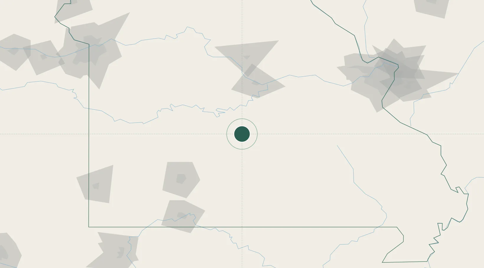
Richland
37.8500°, -92.4000°
1,826
Population
2
Transport functions
Transport Functions
Rail
Road
Hub Profile
Place type
Populated place
Region
Missouri
Population
1,826
Time zone
America/Chicago
Elevation
346 m
Location
Nearby Logistics Neighbours
Cities
- 1Dixon30 km
- 2Linn Creek33 km
- 3Macks Creek51 km
- 4Laurie53 km
- 5Eldon58 km
Ports
- 1Port Of Memphis368 km
- 2Indiana Harbor600 km
- 3Calumet Harbor600 km
- 4Gary602 km
- 5Chicago607 km
Airports
Trade Zones
- 1FTZ No. 225 Springfield98 km
- 2FTZ No. 102 St. Louis County172 km
- 3FTZ No. 031 Granite City216 km
- 4FTZ No. 015 Kansas City244 km
- 5FTZ No. 017 Kansas City255 km
DatabookThe Record of Consolidated Knowledge
United States beyond logistics?