UN/LOCODE hub · United States
USEJK
Macks Creek
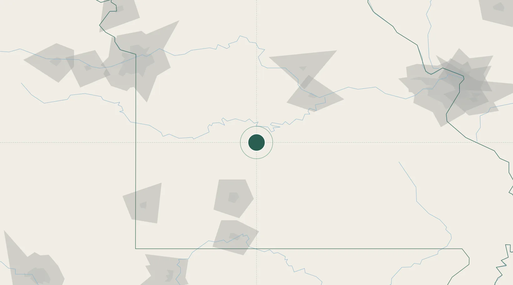
37.9500°, -92.9667°
244
Population
2
Transport functions
Transport Functions
Port
Multimodal
Hub Profile
Place type
Populated place
Region
Missouri
Population
244
Time zone
America/Chicago
Elevation
268 m
Location
Nearby Logistics Neighbours
Cities
- 1Linn Creek25 km
- 2Laurie29 km
- 3Huron43 km
- 4Richland51 km
- 5Eldon56 km
Ports
- 1Port Of Memphis407 km
- 2Calumet Harbor627 km
- 3Indiana Harbor628 km
- 4Gary631 km
- 5Chicago633 km
Airports
Trade Zones
- 1FTZ No. 225 Springfield85 km
- 2FTZ No. 015 Kansas City195 km
- 3FTZ No. 017 Kansas City208 km
- 4FTZ No. 102 St. Louis County212 km
- 5FTZ No. 031 Granite City257 km
DatabookThe Record of Consolidated Knowledge
United States beyond logistics?