UN/LOCODE hub · United States
USXBW
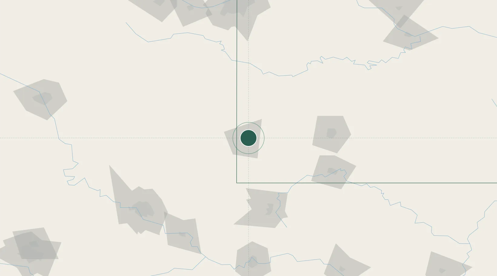
Webb City
37.1333°, -94.4500°
11,165
Population
4
Transport functions
Transport Functions
Port
Rail
Road
Multimodal
Hub Profile
Place type
Populated place
Region
Missouri
Population
11,165
Time zone
America/Chicago
Elevation
305 m
Location
Nearby Logistics Neighbours
Cities
- 1Pleasant Valley11 km
- 2Galena17 km
- 3Reeds25 km
- 4Jasper26 km
- 5Baxter Springs28 km
Ports
- 1Port Of Memphis448 km
- 2Lake Charles777 km
- 3Calumet Harbor785 km
- 4Beaumont785 km
- 5Indiana Harbor785 km
Airports
Trade Zones
- 1FTZ No. 225 Springfield115 km
- 2FTZ No. 053 Rogers County153 km
- 3FTZ No. 164 Muskogee179 km
- 4FTZ No. 015 Kansas City194 km
- 5FTZ No. 017 Kansas City221 km
DatabookThe Record of Consolidated Knowledge
United States beyond logistics?