UN/LOCODE hub · United States
USBSG
Baxter Springs
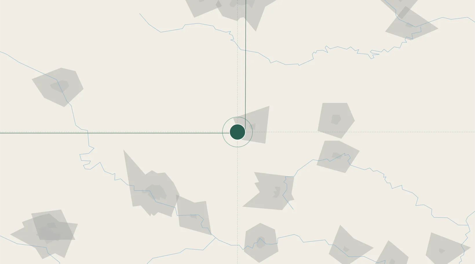
37.0167°, -94.7333°
4,028
Population
2
Transport functions
Transport Functions
Rail
Road
Hub Profile
Place type
Populated place
Region
Kansas
Population
4,028
Time zone
America/Chicago
Elevation
257 m
Location
Nearby Logistics Neighbours
Ports
- 1Port Of Memphis464 km
- 2Lake Charles769 km
- 3Beaumont773 km
- 4Orange777 km
- 5Port Neches784 km
Airports
Trade Zones
- 1FTZ No. 053 Rogers County125 km
- 2FTZ No. 225 Springfield142 km
- 3FTZ No. 164 Muskogee156 km
- 4FTZ No. 015 Kansas City203 km
- 5FTZ No. 017 Kansas City231 km
DatabookThe Record of Consolidated Knowledge
United States beyond logistics?