Transport Functions
Rail
Road
Hub Profile
Place type
Populated place
Region
Missouri
Time zone
America/Chicago
Elevation
315 m
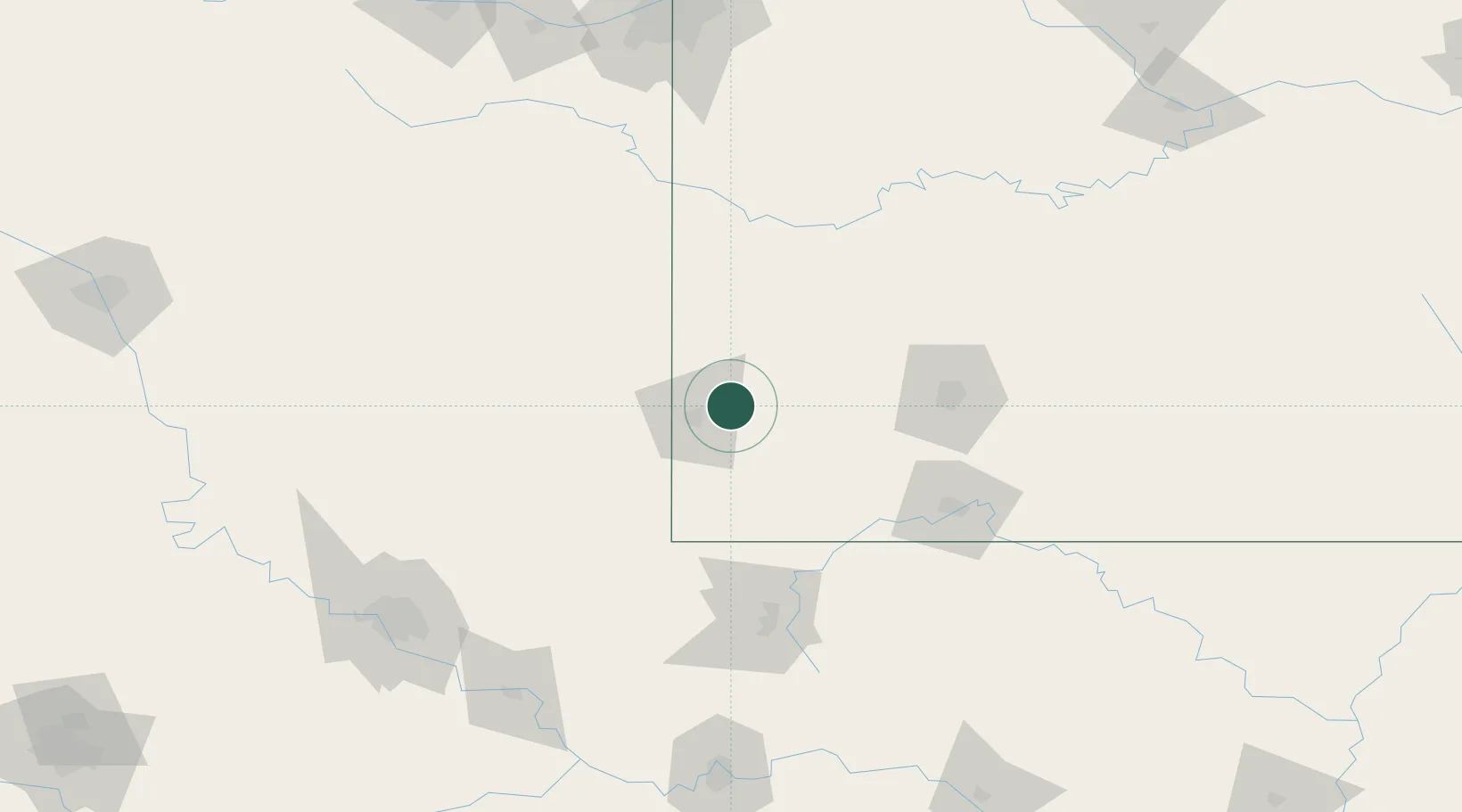
Location
Nearby Logistics Neighbours
Cities
- 1Webb City11 km
- 2Reeds15 km
- 3Jasper21 km
- 4Galena28 km
- 5Pierce City38 km
Ports
- 1Port Of Memphis440 km
- 2Calumet Harbor776 km
- 3Indiana Harbor777 km
- 4Lake Charles777 km
- 5Gary780 km
Airports
Trade Zones
- 1FTZ No. 225 Springfield105 km
- 2FTZ No. 053 Rogers County163 km
- 3FTZ No. 164 Muskogee186 km
- 4FTZ No. 015 Kansas City194 km
- 5FTZ No. 017 Kansas City221 km
DatabookThe Record of Consolidated Knowledge
United States beyond logistics?