Transport Functions
Rail
Road
Hub Profile
Place type
Populated place
Region
Missouri
Population
928
Time zone
America/Chicago
Elevation
289 m
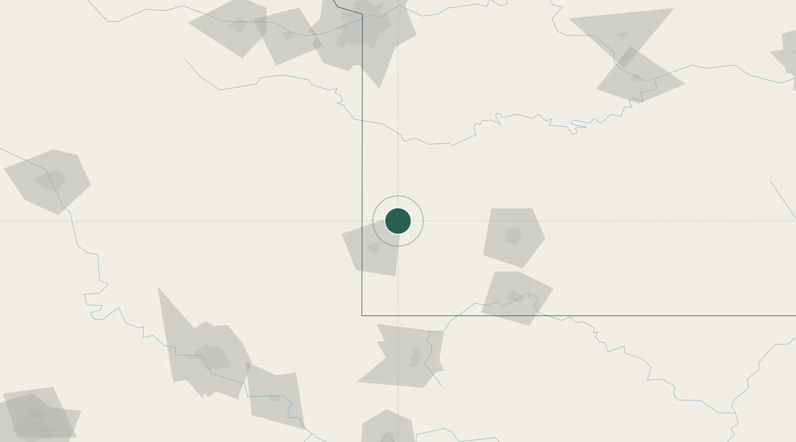
Location
Nearby Logistics Neighbours
Cities
- 1Pleasant Valley21 km
- 2Webb City26 km
- 3Reeds27 km
- 4Lockwood31 km
- 5Galena41 km
Ports
- 1Port Of Memphis448 km
- 2Calumet Harbor760 km
- 3Indiana Harbor761 km
- 4Gary764 km
- 5Chicago765 km
Airports
Trade Zones
- 1FTZ No. 225 Springfield103 km
- 2FTZ No. 015 Kansas City175 km
- 3FTZ No. 053 Rogers County177 km
- 4FTZ No. 017 Kansas City201 km
- 5FTZ No. 164 Muskogee205 km
DatabookThe Record of Consolidated Knowledge
United States beyond logistics?