Transport Functions
Rail
Road
Hub Profile
Place type
Populated place
Region
Missouri
Population
94
Time zone
America/Chicago
Elevation
340 m
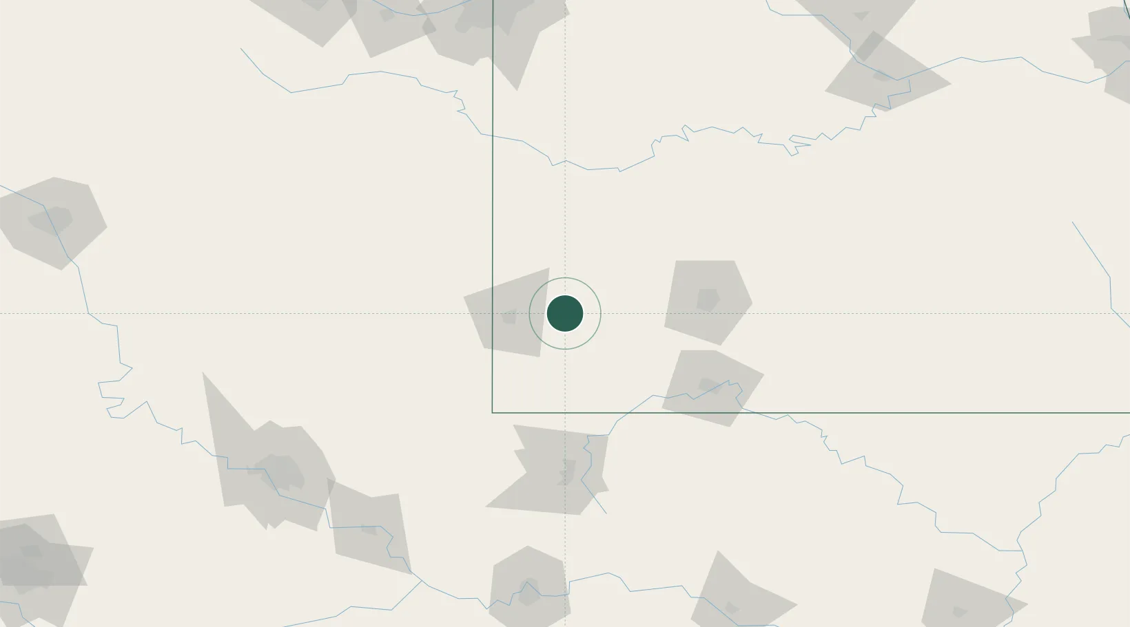
Location
Nearby Logistics Neighbours
Cities
- 1Pleasant Valley15 km
- 2Webb City25 km
- 3Pierce City25 km
- 4Jasper27 km
- 5Mount Vernon31 km
Ports
- 1Port Of Memphis426 km
- 2Calumet Harbor768 km
- 3Indiana Harbor768 km
- 4Gary771 km
- 5Lake Charles772 km
Airports
- 1Joplin Regional Airport30 km
- 2Springfield Branson National Airport70 km
- 3Northwest Arkansas National Airport94 km
- 4Branson Airport108 km
- 5Drake Field124 km
Trade Zones
- 1FTZ No. 225 Springfield90 km
- 2FTZ No. 053 Rogers County174 km
- 3FTZ No. 164 Muskogee192 km
- 4FTZ No. 015 Kansas City202 km
- 5FTZ No. 017 Kansas City228 km
DatabookThe Record of Consolidated Knowledge
United States beyond logistics?