Transport Functions
Rail
Road
Multimodal
Hub Profile
Place type
Populated place
Region
Kansas
Population
2,930
Time zone
America/Chicago
Elevation
275 m
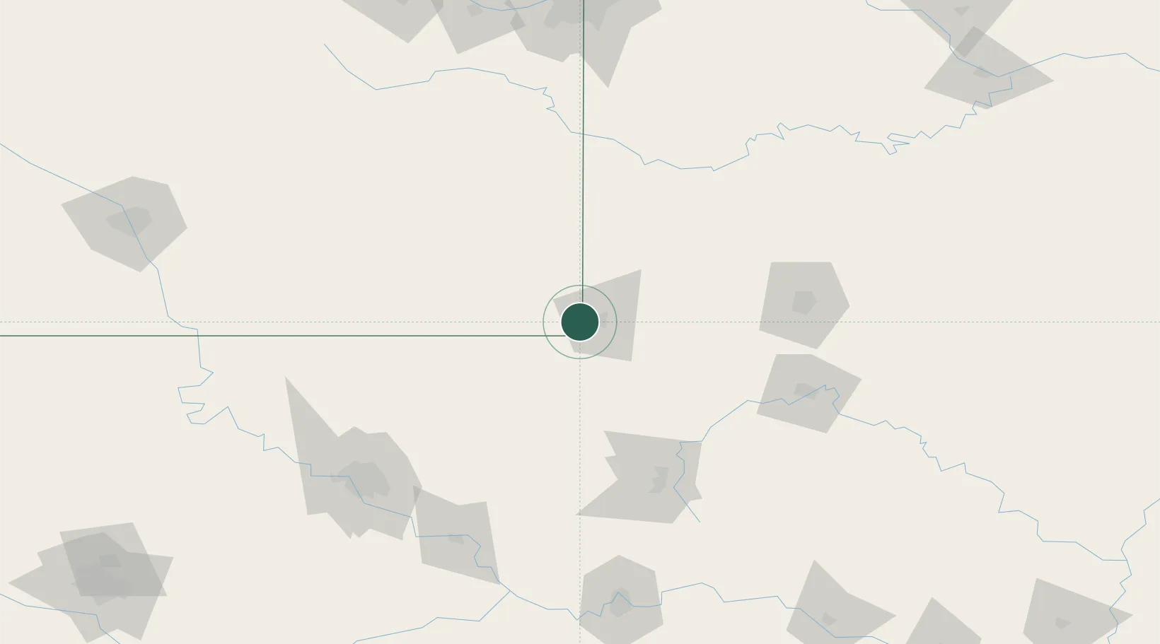
Location
Nearby Logistics Neighbours
Cities
- 1Baxter Springs12 km
- 2Webb City17 km
- 3Quapaw20 km
- 4Columbus20 km
- 5Pleasant Valley28 km
Ports
- 1Port Of Memphis460 km
- 2Lake Charles774 km
- 3Beaumont780 km
- 4Orange783 km
- 5Port Neches790 km
Airports
Trade Zones
- 1FTZ No. 225 Springfield132 km
- 2FTZ No. 053 Rogers County137 km
- 3FTZ No. 164 Muskogee167 km
- 4FTZ No. 015 Kansas City197 km
- 5FTZ No. 017 Kansas City224 km
DatabookThe Record of Consolidated Knowledge
United States beyond logistics?