UN/LOCODE hub · United States
USGVN
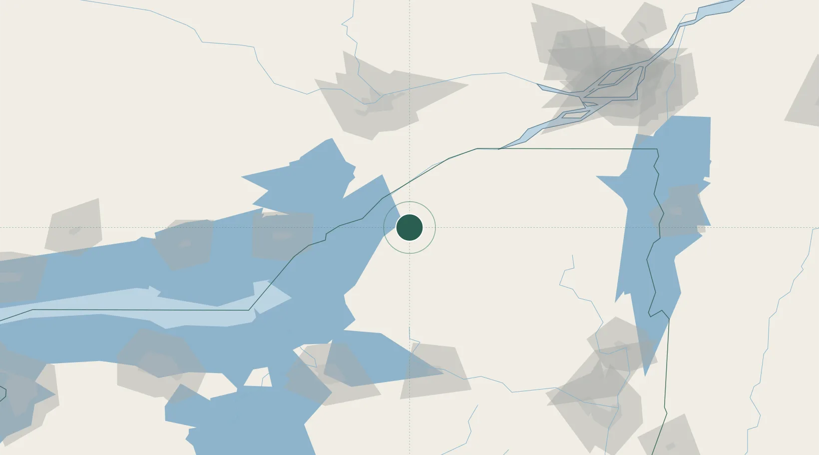
Gouverneur
44.3333°, -75.4667°
3,797
Population
2
Transport functions
Transport Functions
Rail
Road
Hub Profile
Place type
Populated place
Region
New York
Population
3,797
Time zone
America/New_York
Elevation
134 m
Location
Nearby Logistics Neighbours
Cities
- 1Theresa28 km
- 2Philadelphia29 km
- 3Heuvelton32 km
- 4Canton37 km
- 5Carthage41 km
Ports
- 1Brockville32 km
- 2Alexandria Bay36 km
- 3Rockport38 km
- 4Ogdensburg41 km
- 5Lower Lakes Terminal45 km
Airports
Trade Zones
- 1FTZ No. 118 Ogdensburg42 km
- 2FTZ No. 109 Watertown52 km
- 3FTZ No. 172 Oneida County130 km
- 4FTZ No. 090 Onondaga131 km
- 5Greater Montreal Free Zone Center199 km
DatabookThe Record of Consolidated Knowledge
United States beyond logistics?