UN/LOCODE hub · United States
USITD
Crittenden
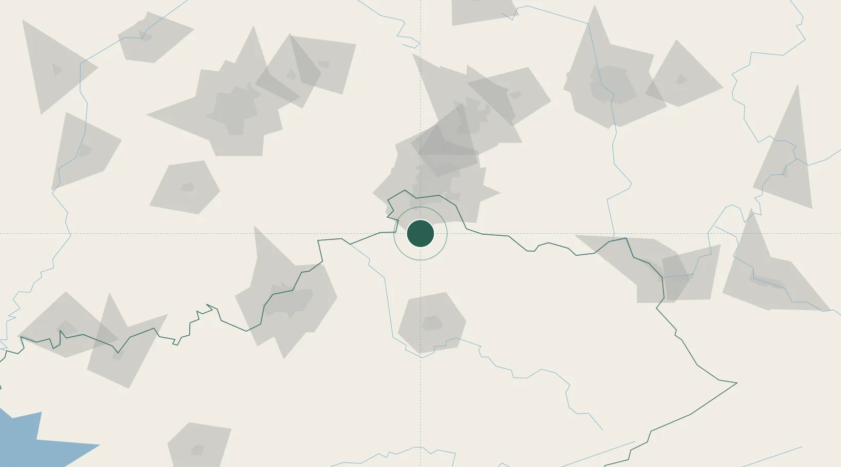
38.7833°, -84.6000°
3,848
Population
2
Transport functions
Transport Functions
Road
Multimodal
Hub Profile
Place type
Populated place
Region
Kentucky
Population
3,848
Time zone
America/New_York
Elevation
284 m
Location
Nearby Logistics Neighbours
Cities
- 1Verona7 km
- 2Walton9 km
- 3Independence18 km
- 4Butler20 km
- 5Warsaw26 km
Ports
- 1Port Clinton335 km
- 2Sandusky337 km
- 3Toledo338 km
- 4Huron339 km
- 5Vermilion351 km
Airports
Trade Zones
- 1FTZ No. 047 Boone County32 km
- 2FTZ No. 046 CIncinnati36 km
- 3FTZ No. 054 Clinton County100 km
- 4FTZ No. 100 Dayton116 km
- 5FTZ No. 029 Louisville119 km
DatabookThe Record of Consolidated Knowledge
United States beyond logistics?